Ground Truth, or How To Resurrect a Tree (2019-2022)
Ground Truth (n.)
Factual data as ascertainable through direct observation rather than through inference from remote sensing.
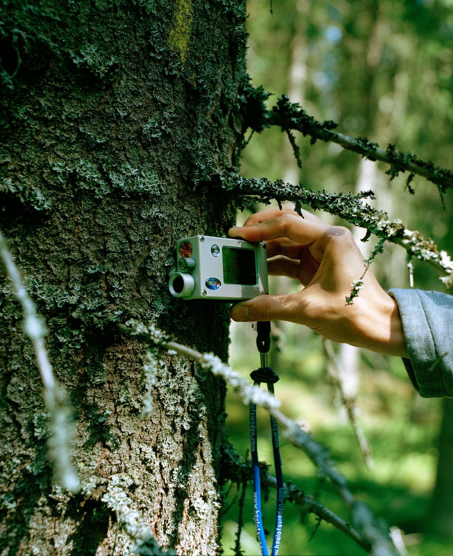
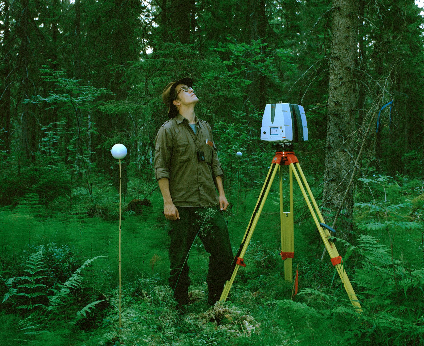
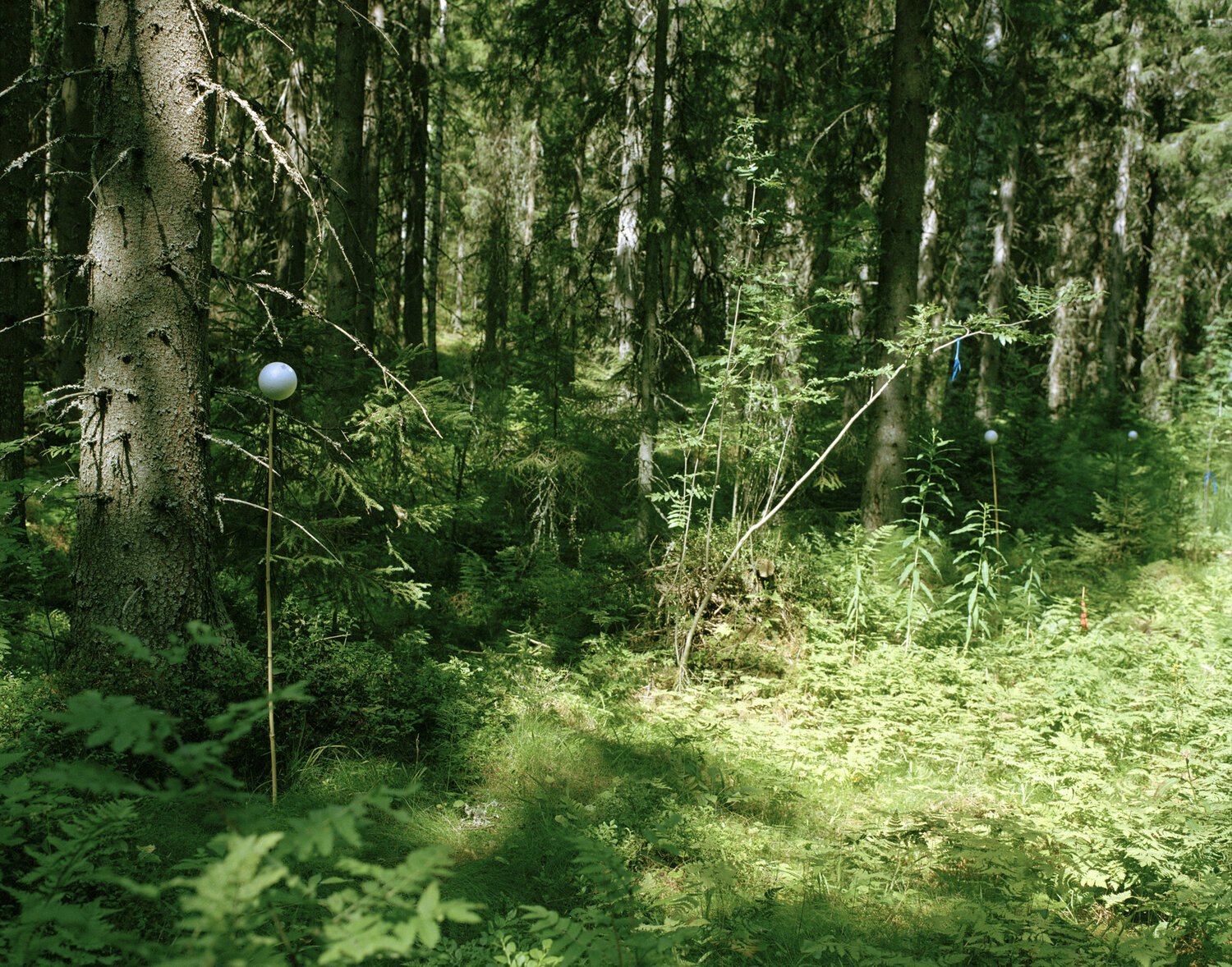
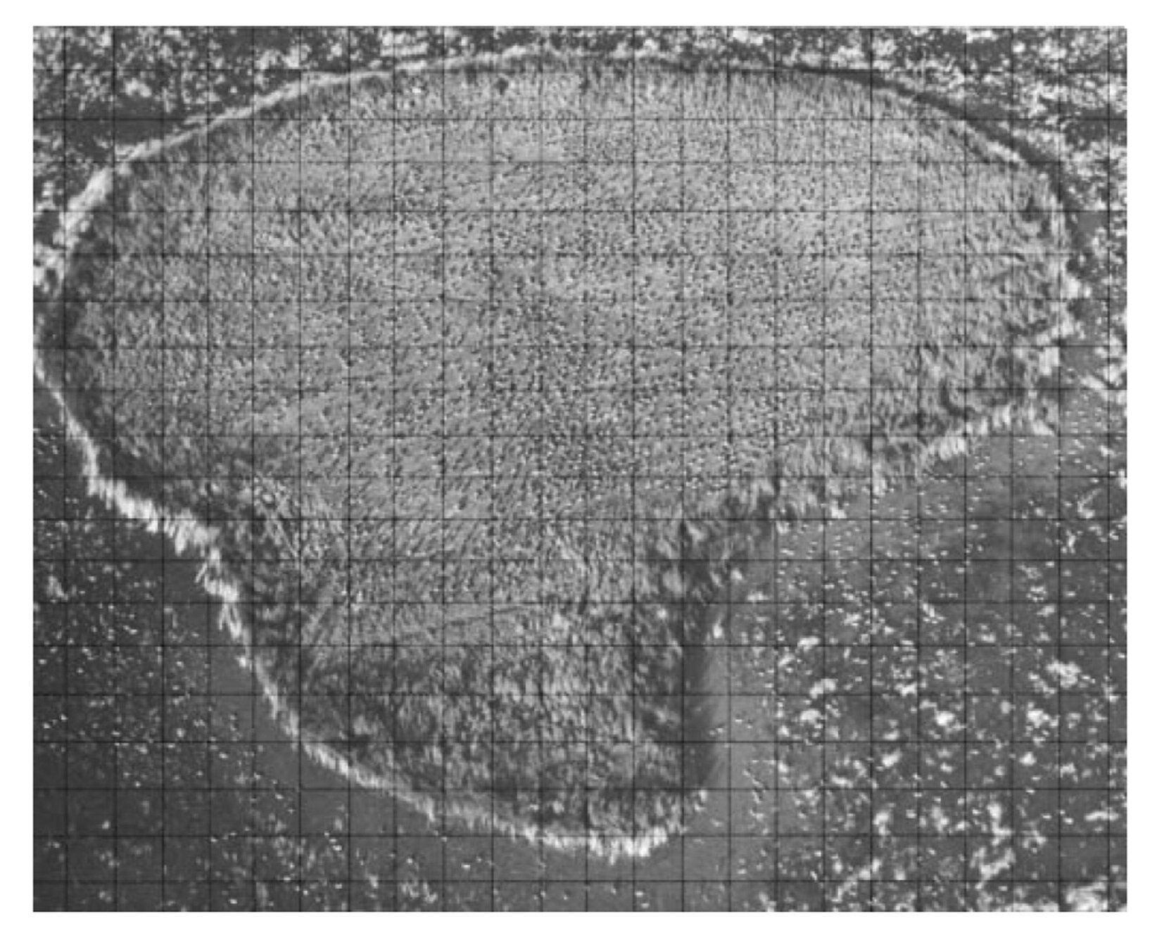
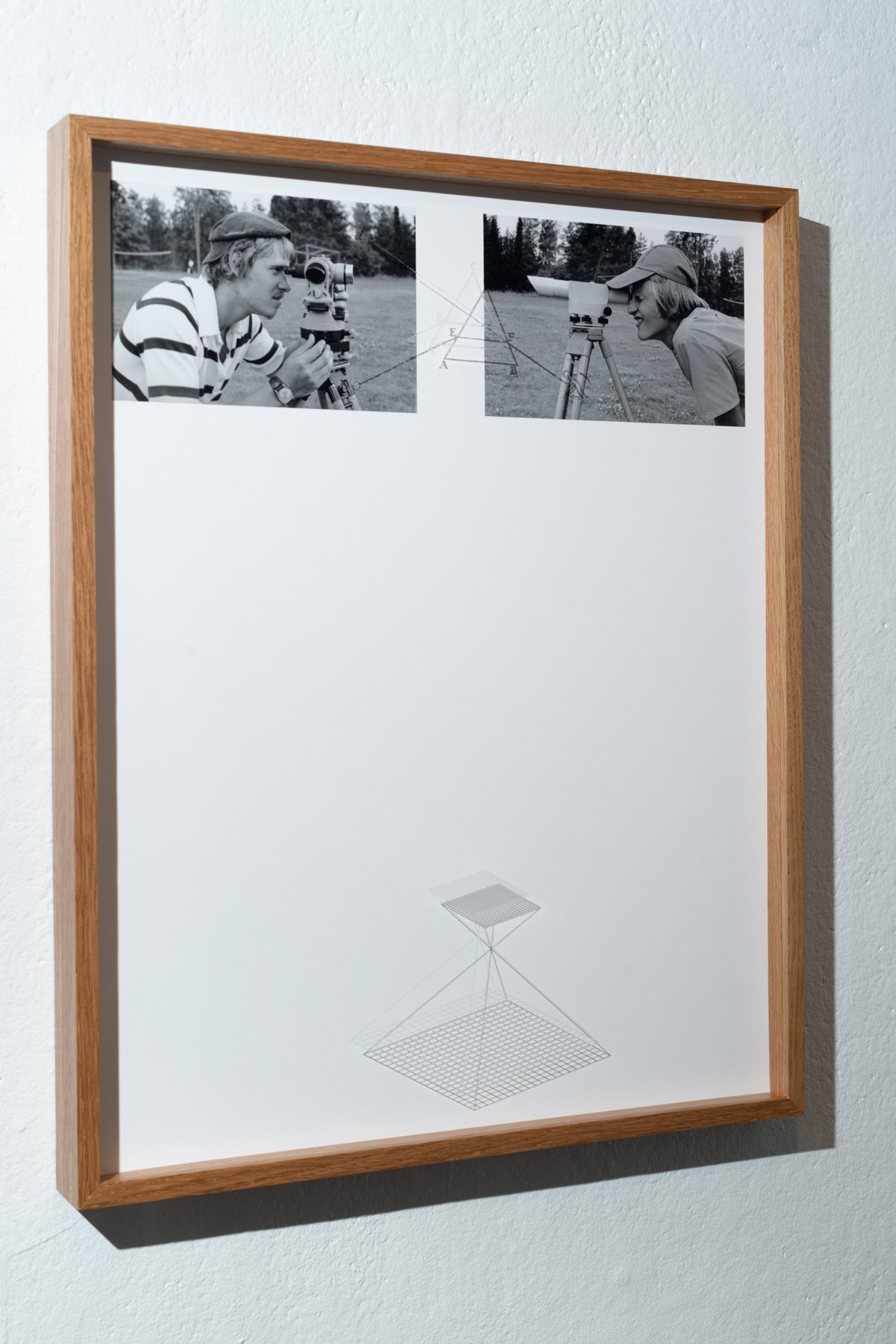
In remote sensing, ground truth refers to information collected on location. Ground truth allows image data to be related to real features and materials on the ground.
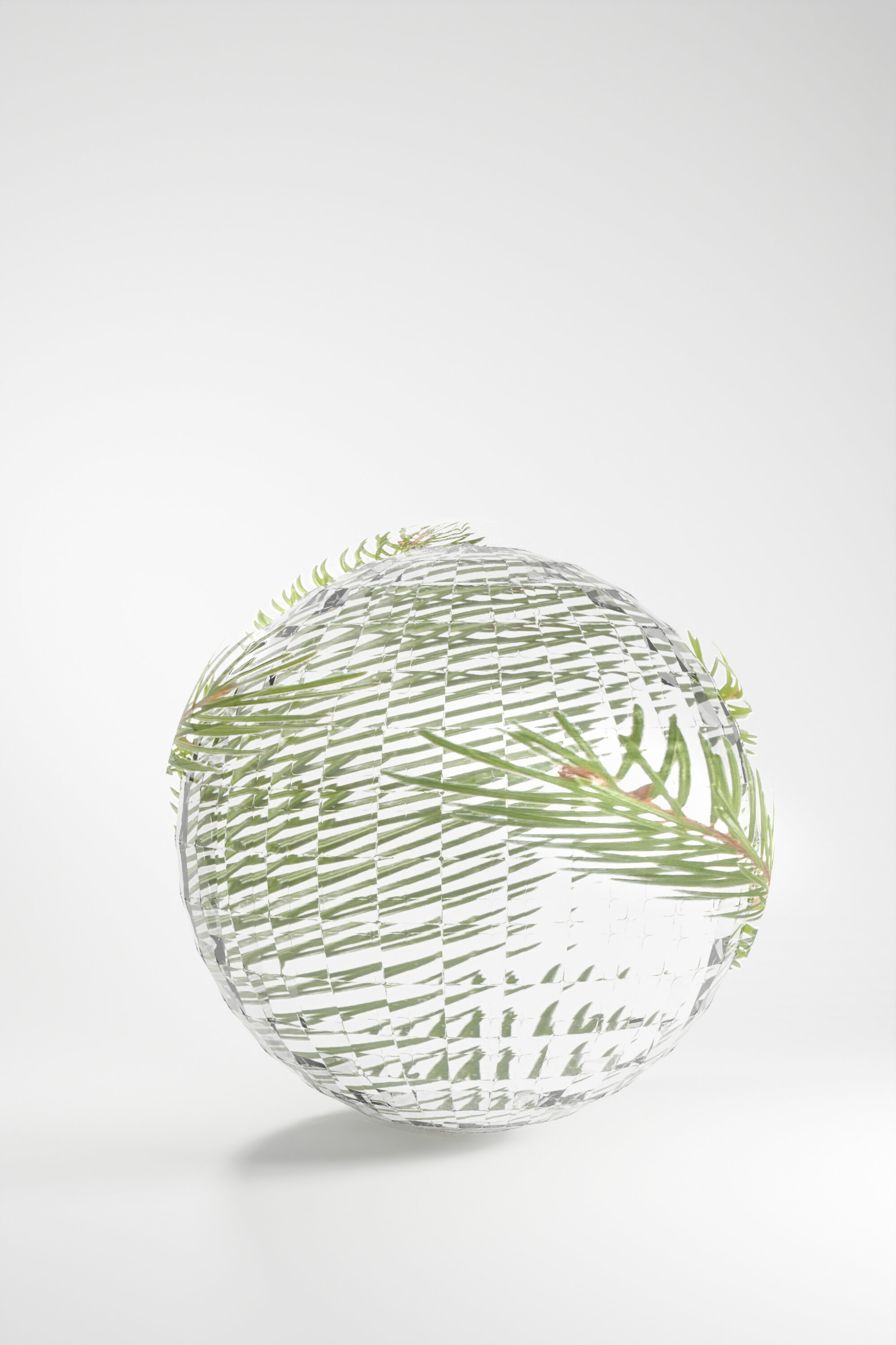
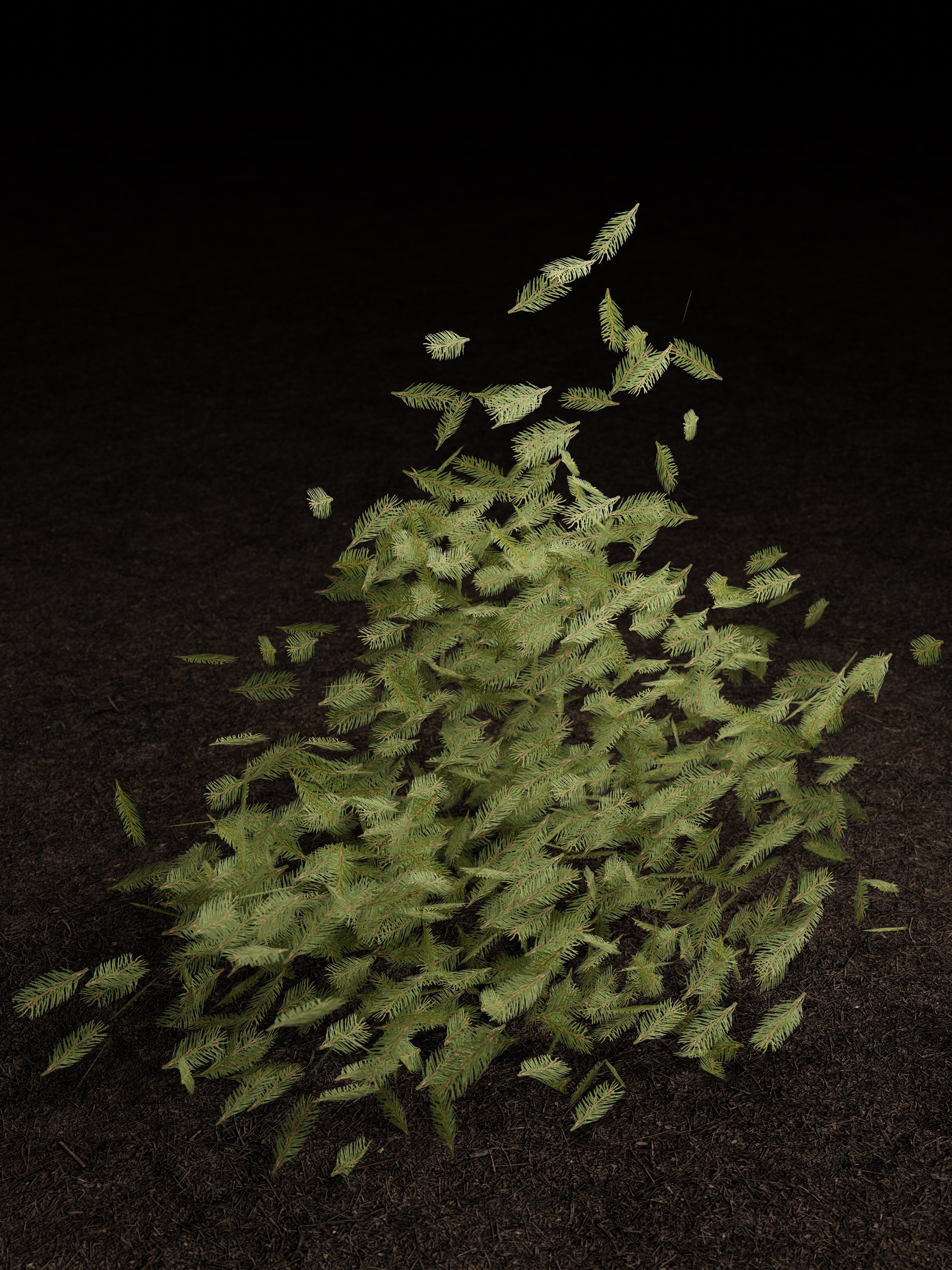
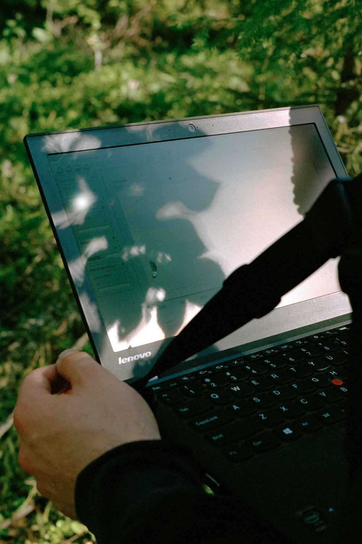
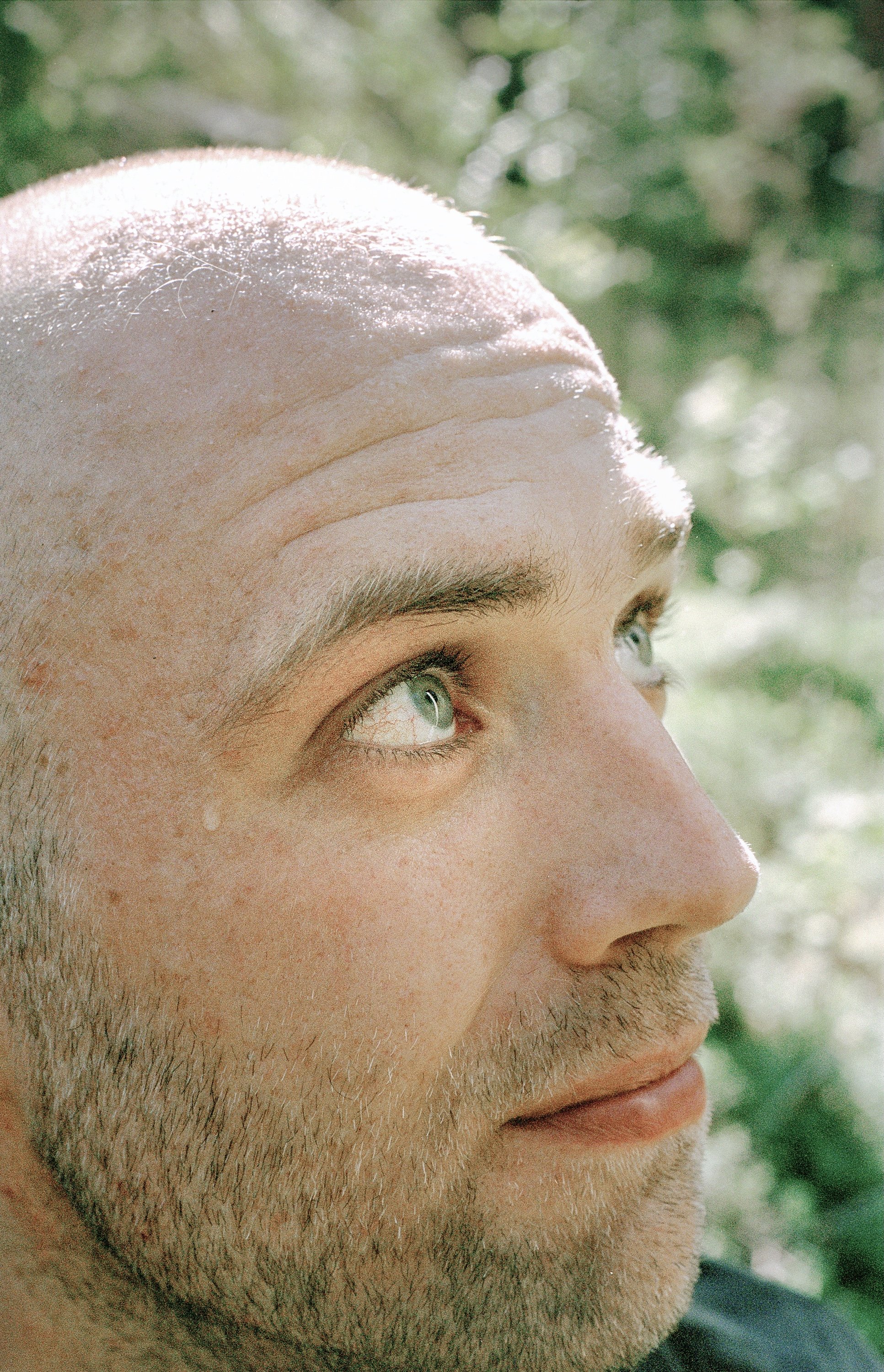
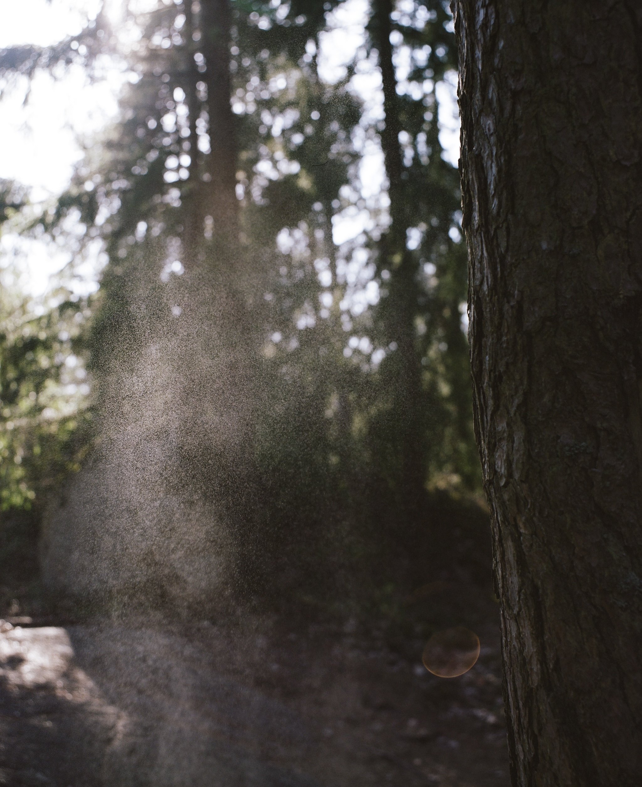
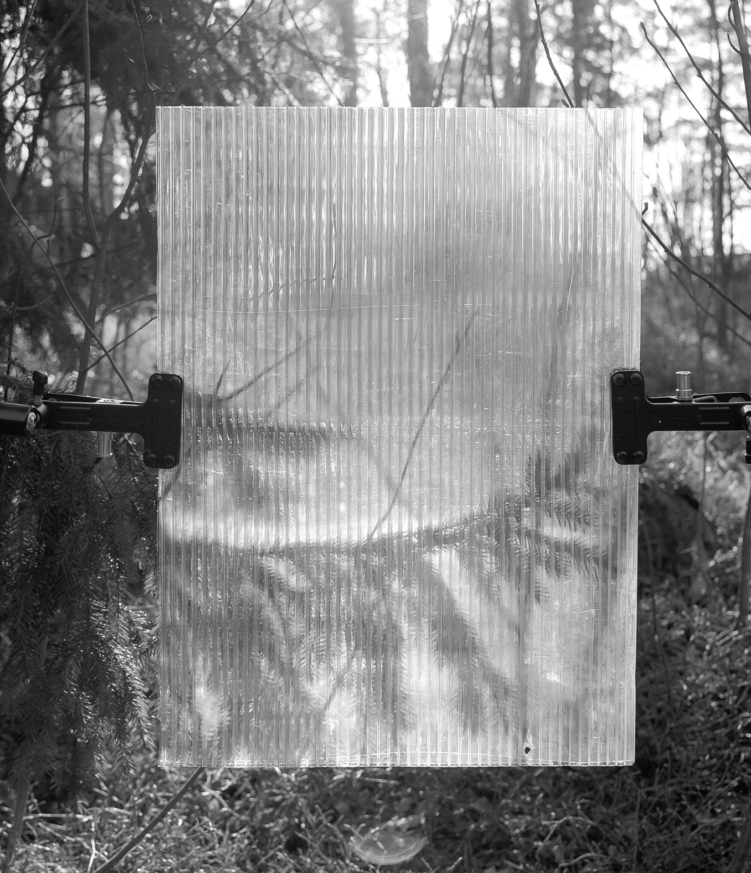
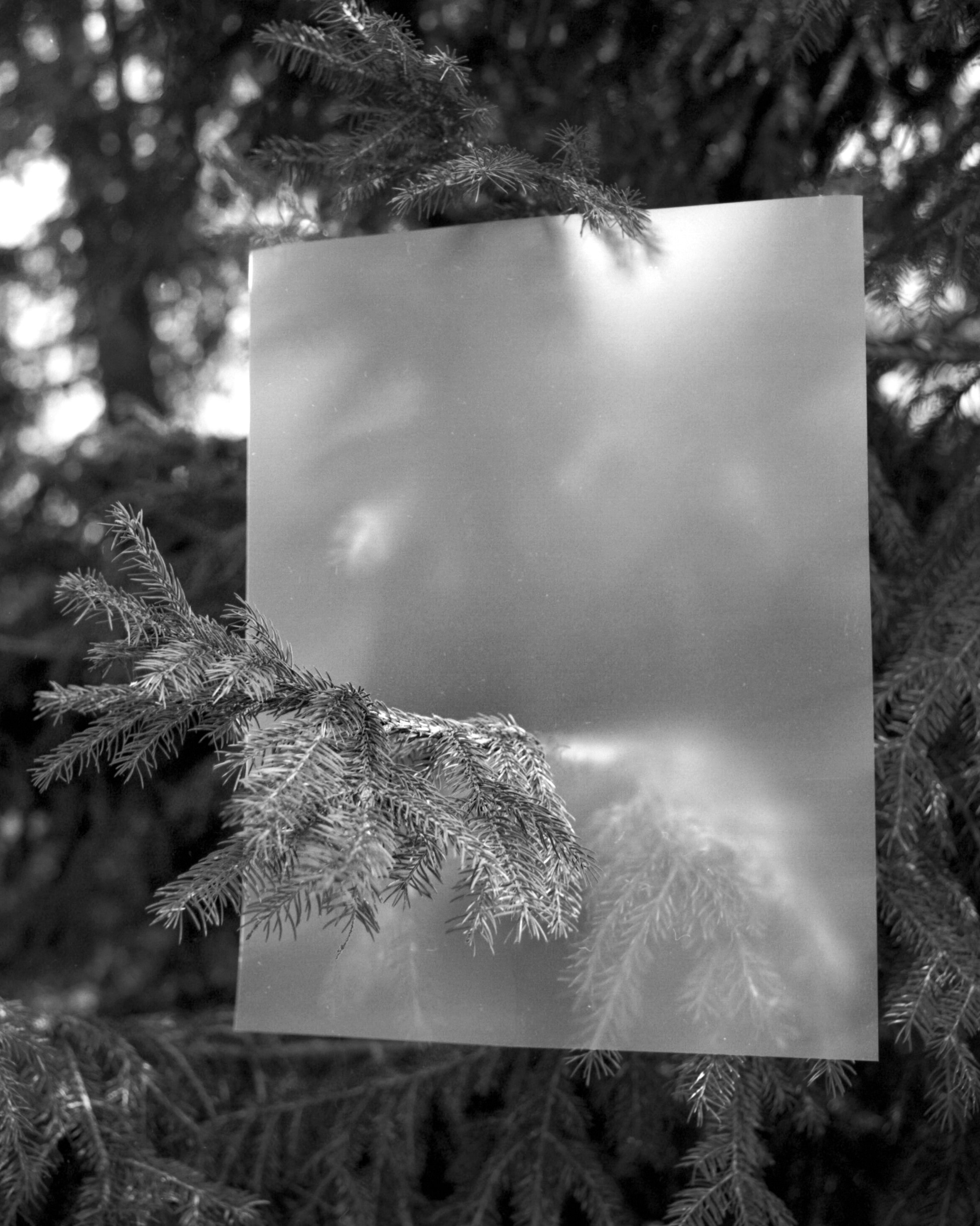
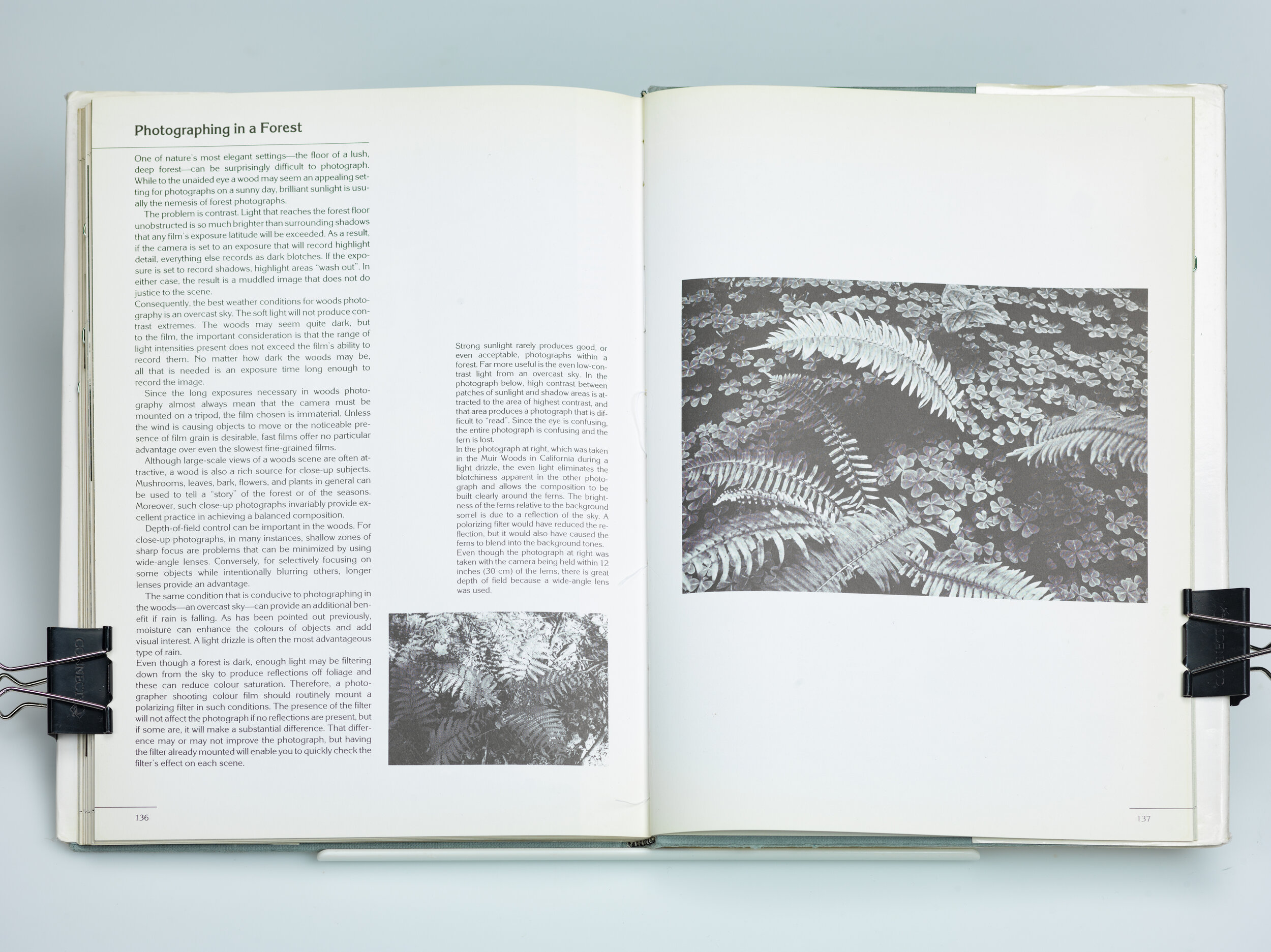
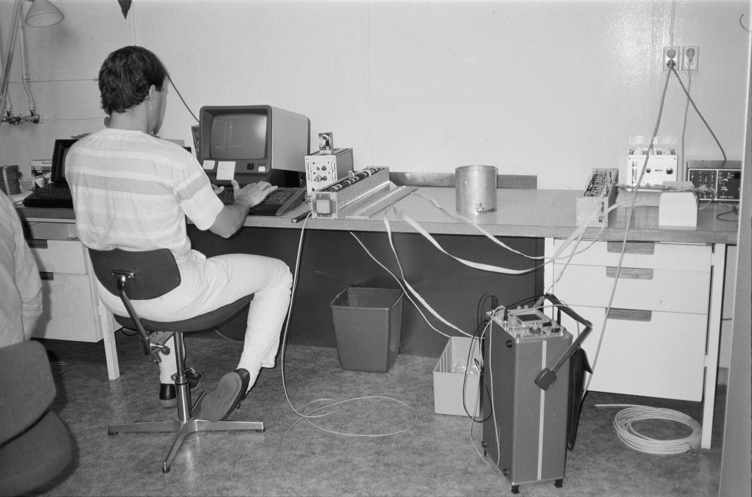
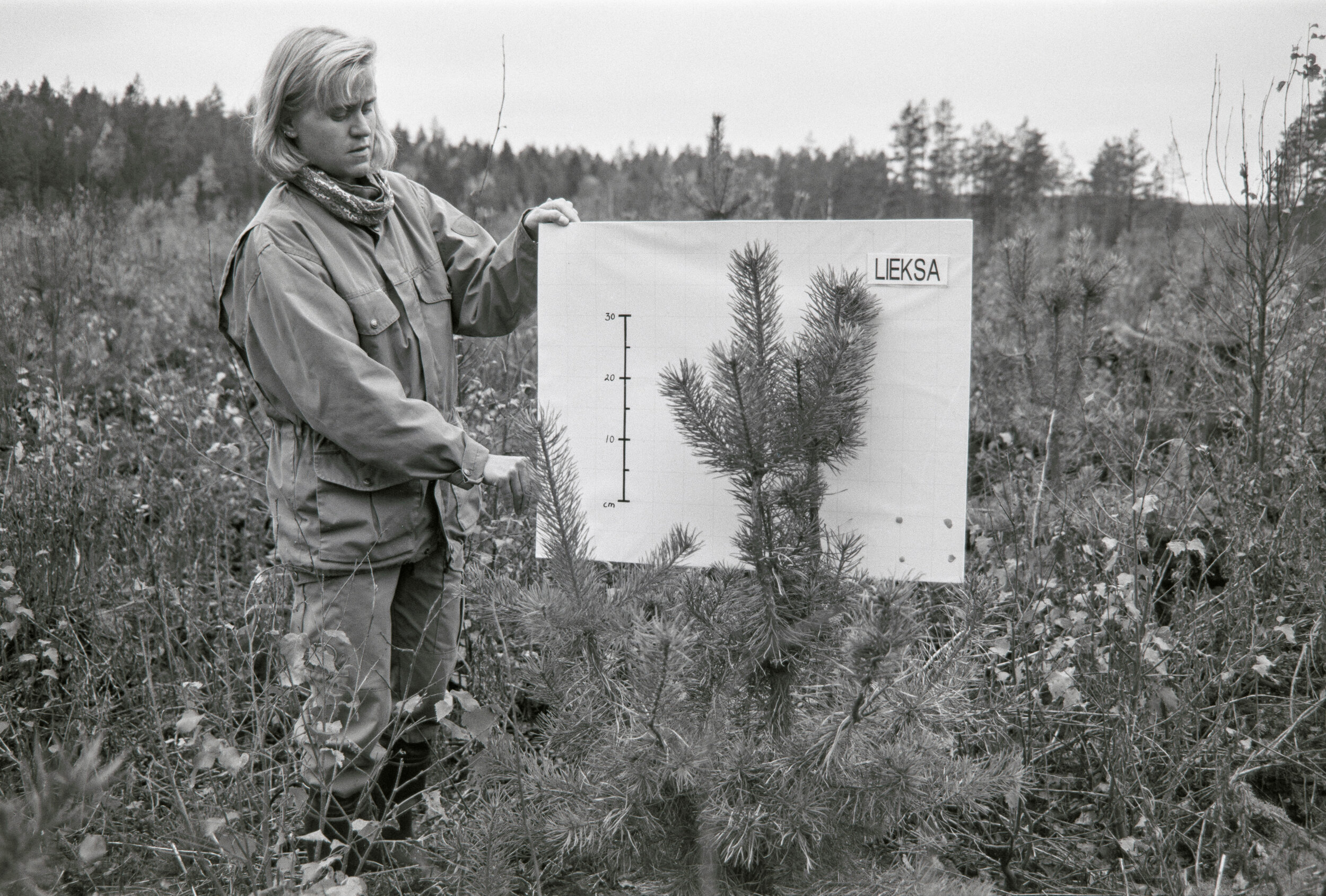
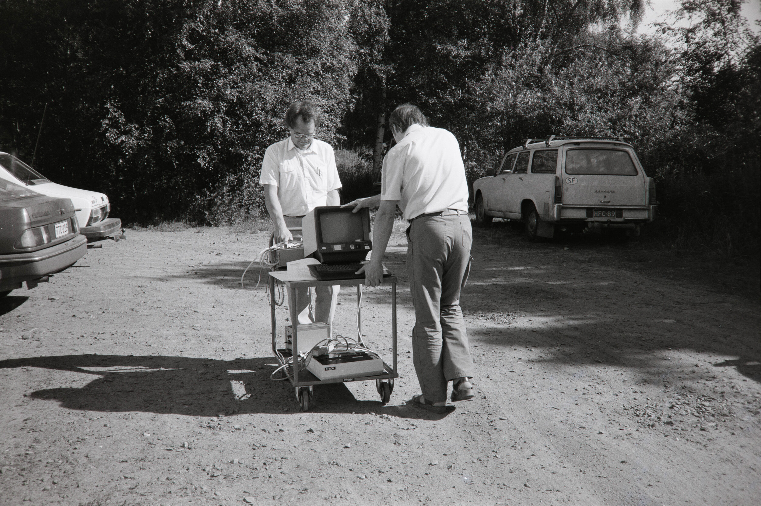
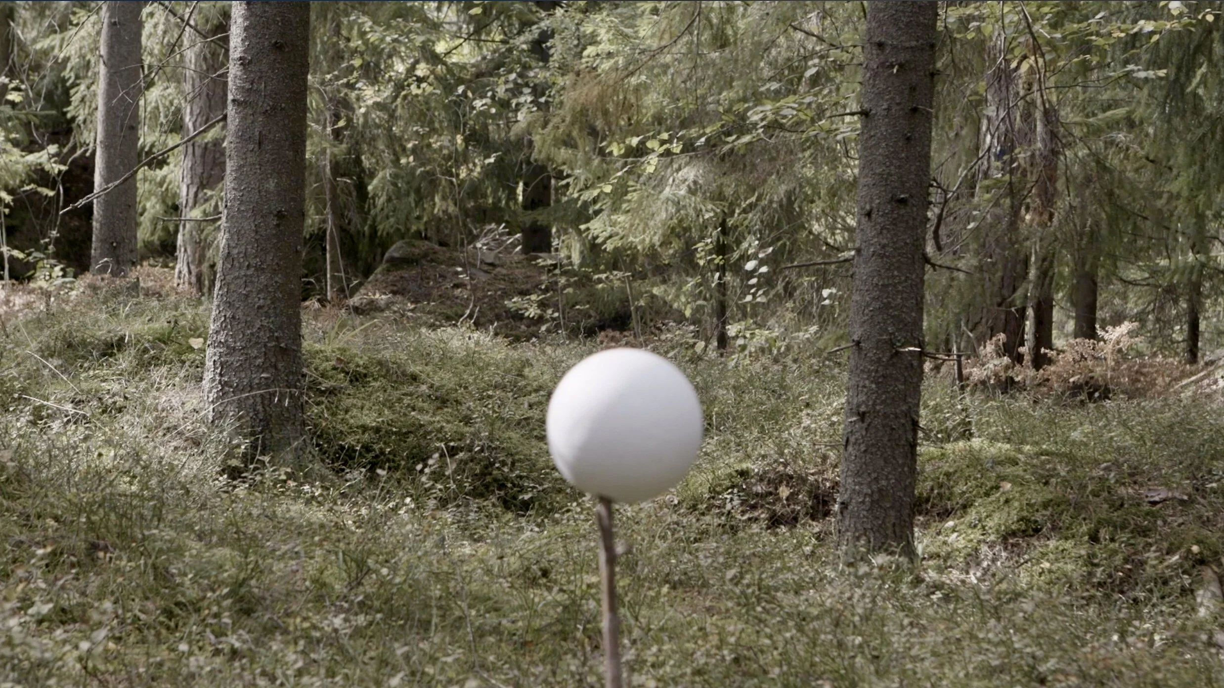
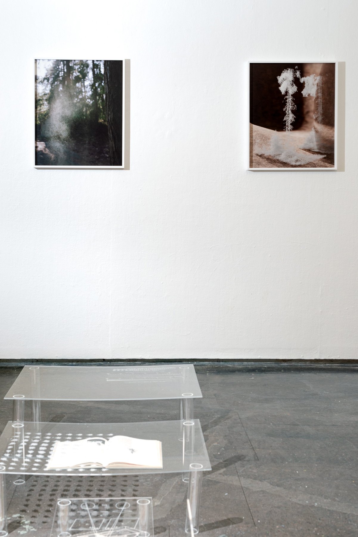
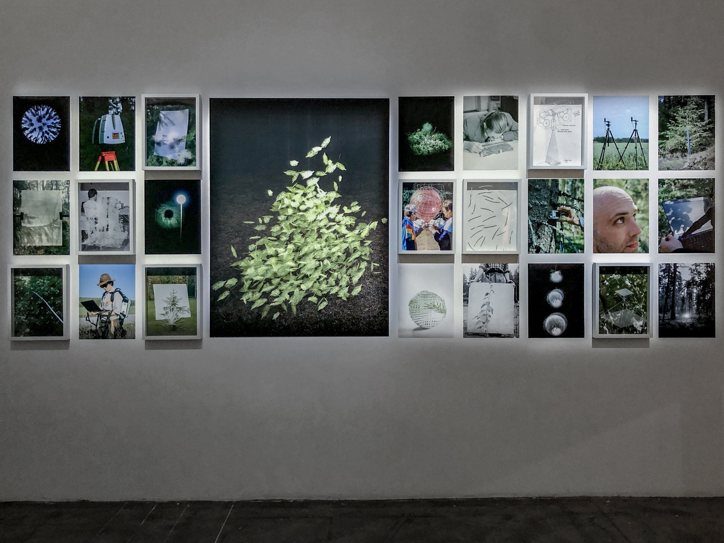
Ground Truth, or How To Resurrect A Tree is a story about ‘seeing something when there is nothing there.’ The project explores the discipline of remote sensing. Equipped with the power of computation, photography and hyperspectral imaging, a group of scientists in Finland set out to overcome the spatial resolution limit of satellite imagery.
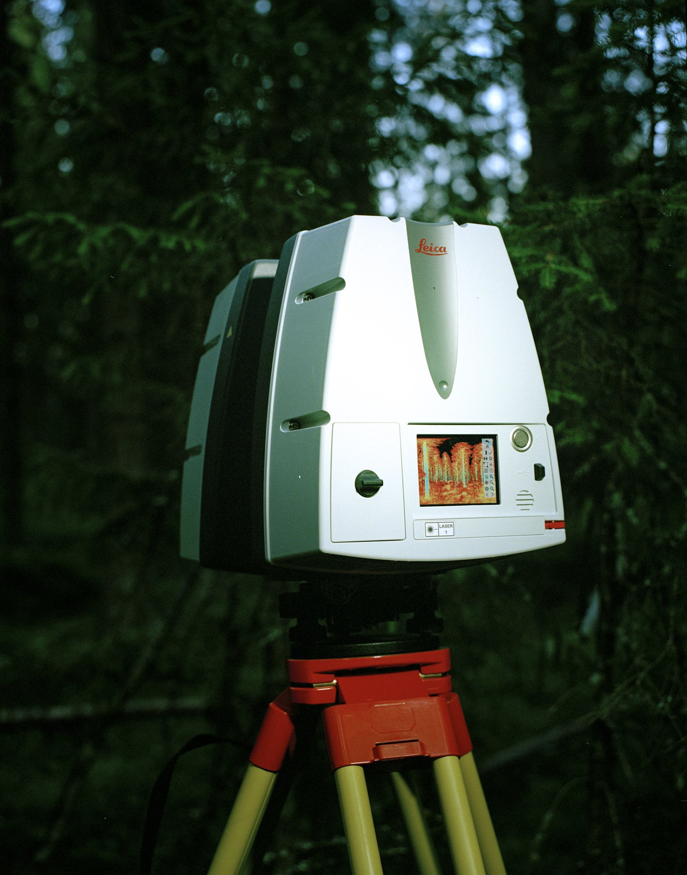
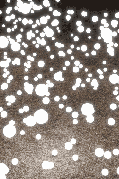
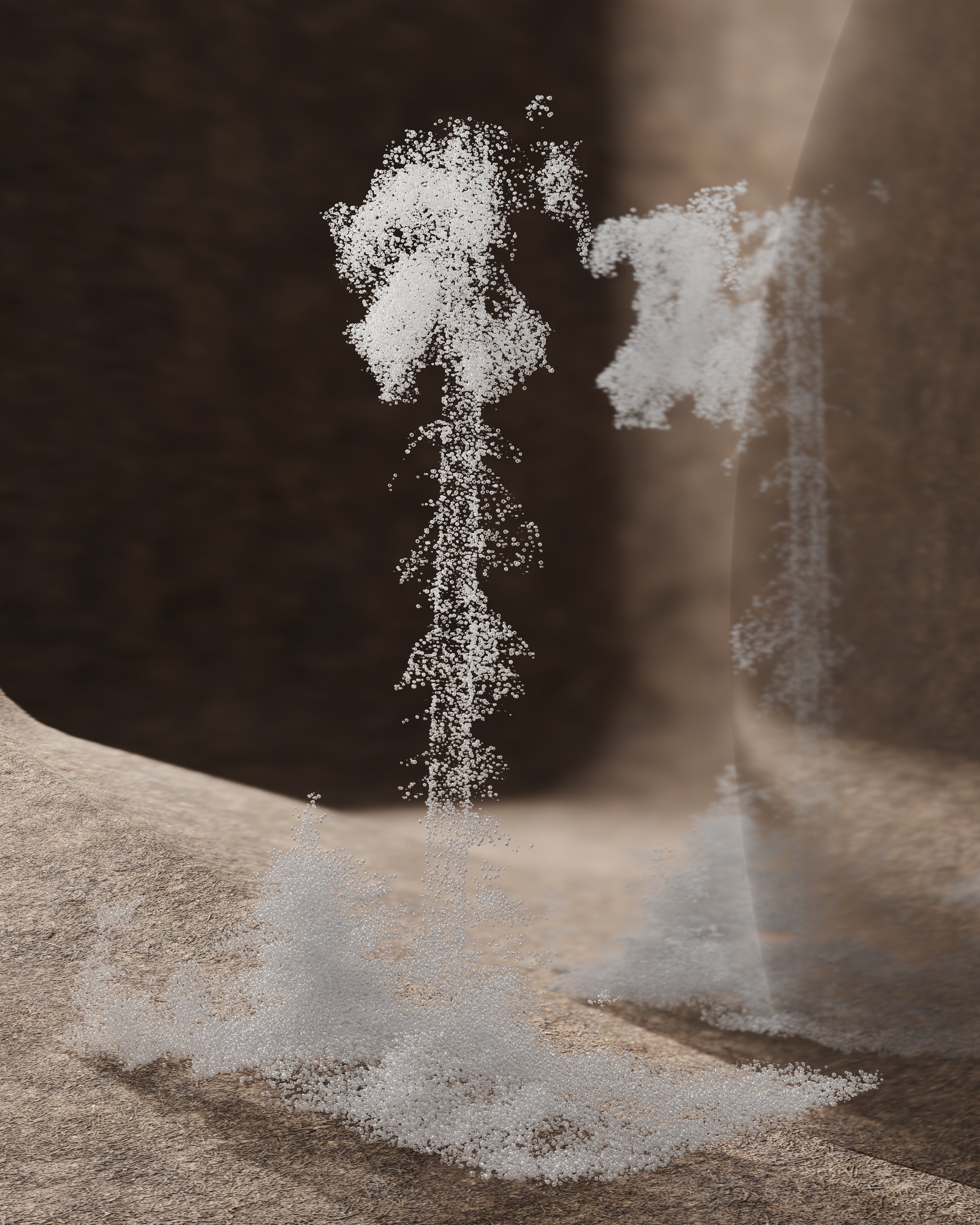
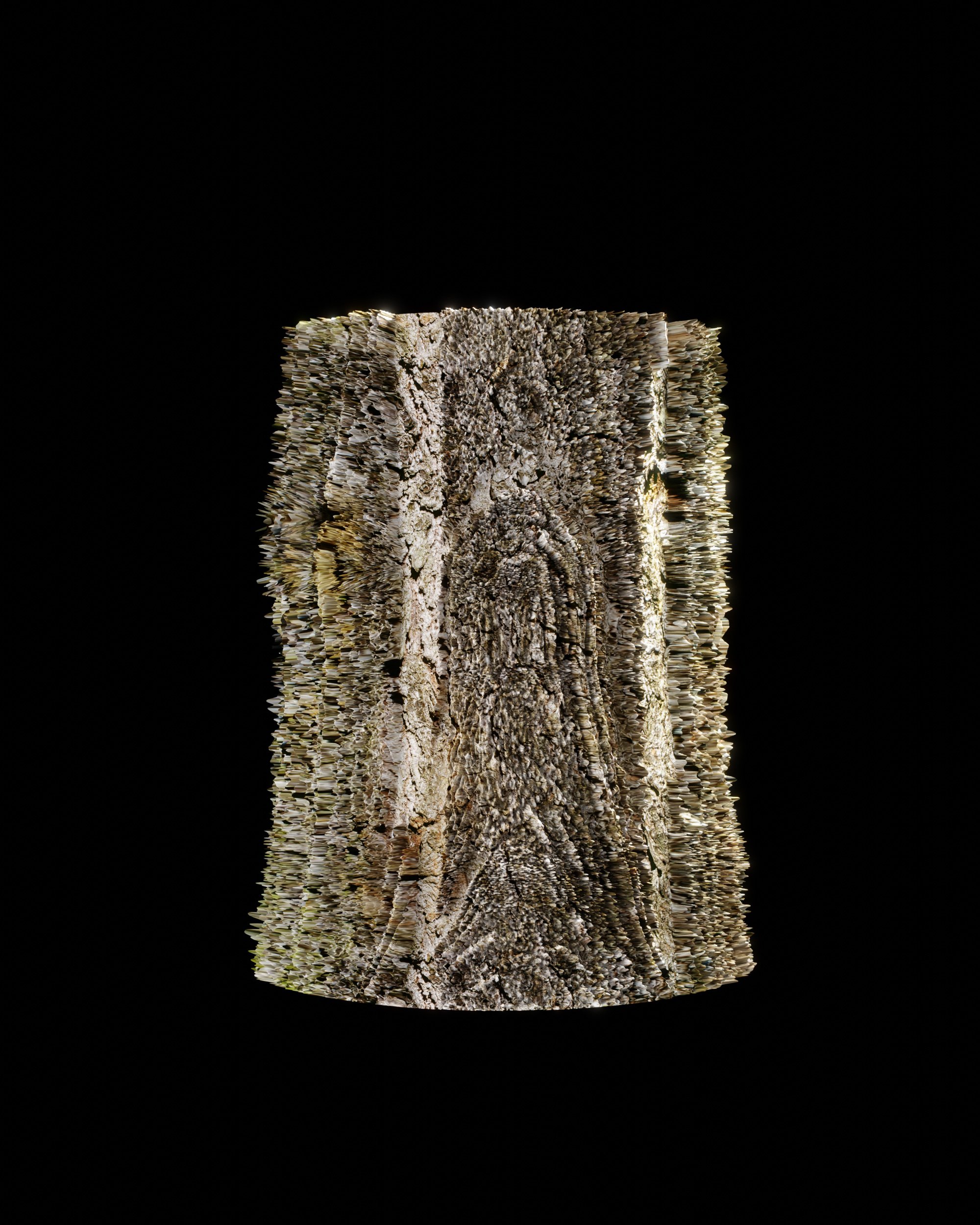
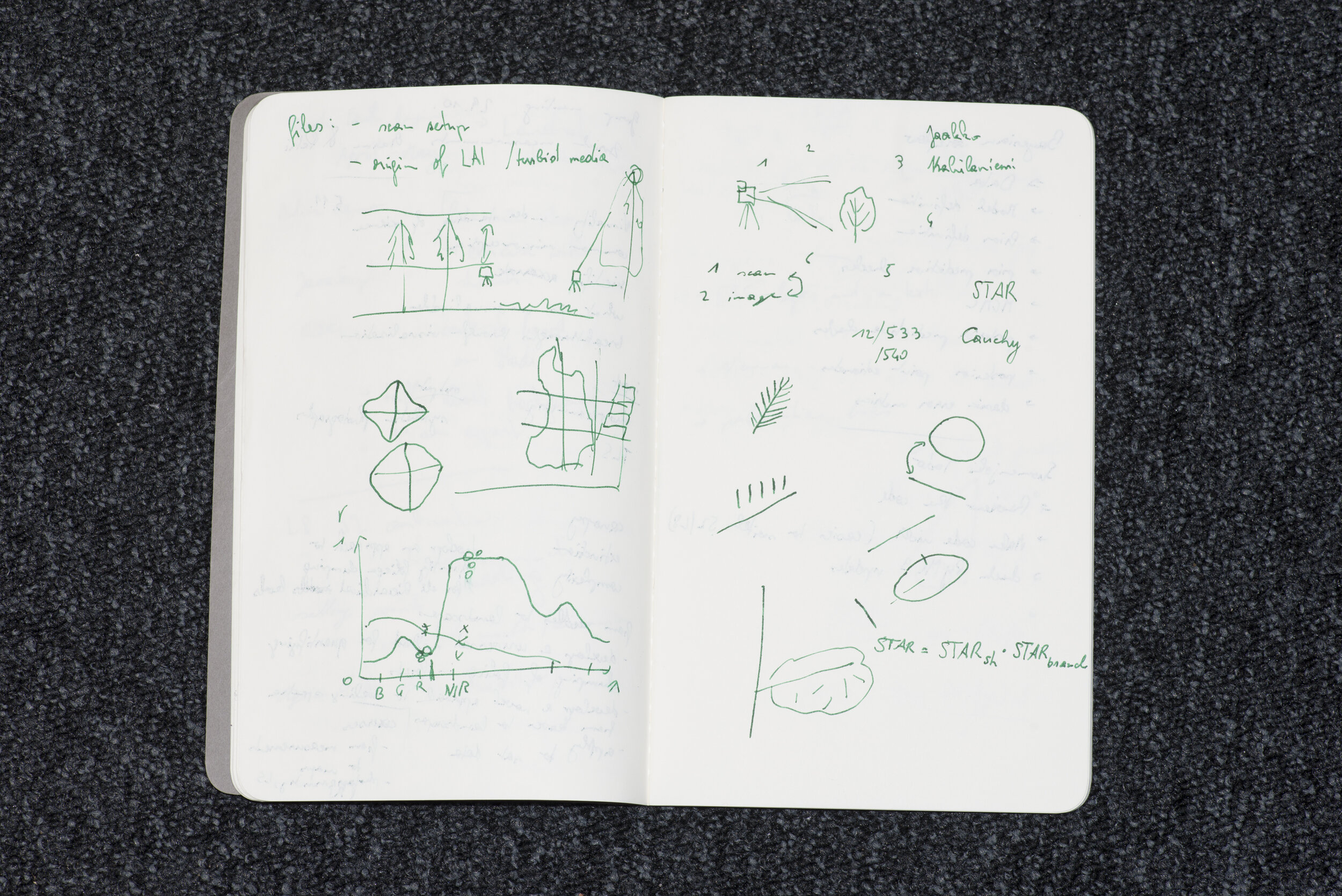
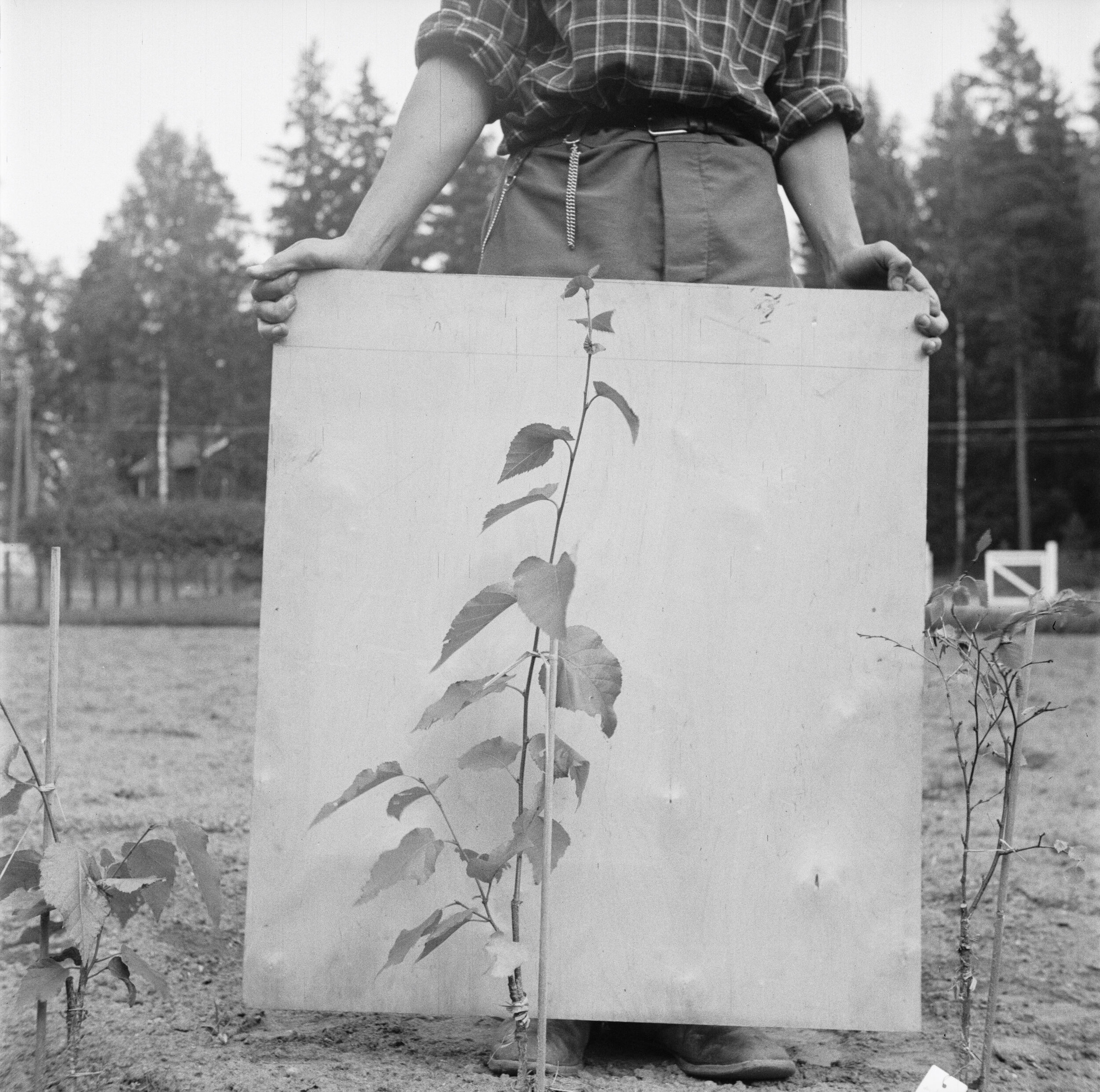
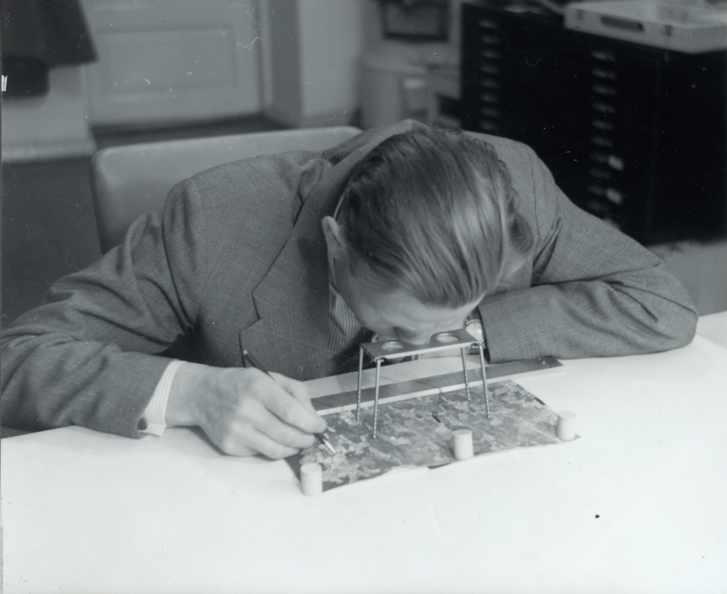
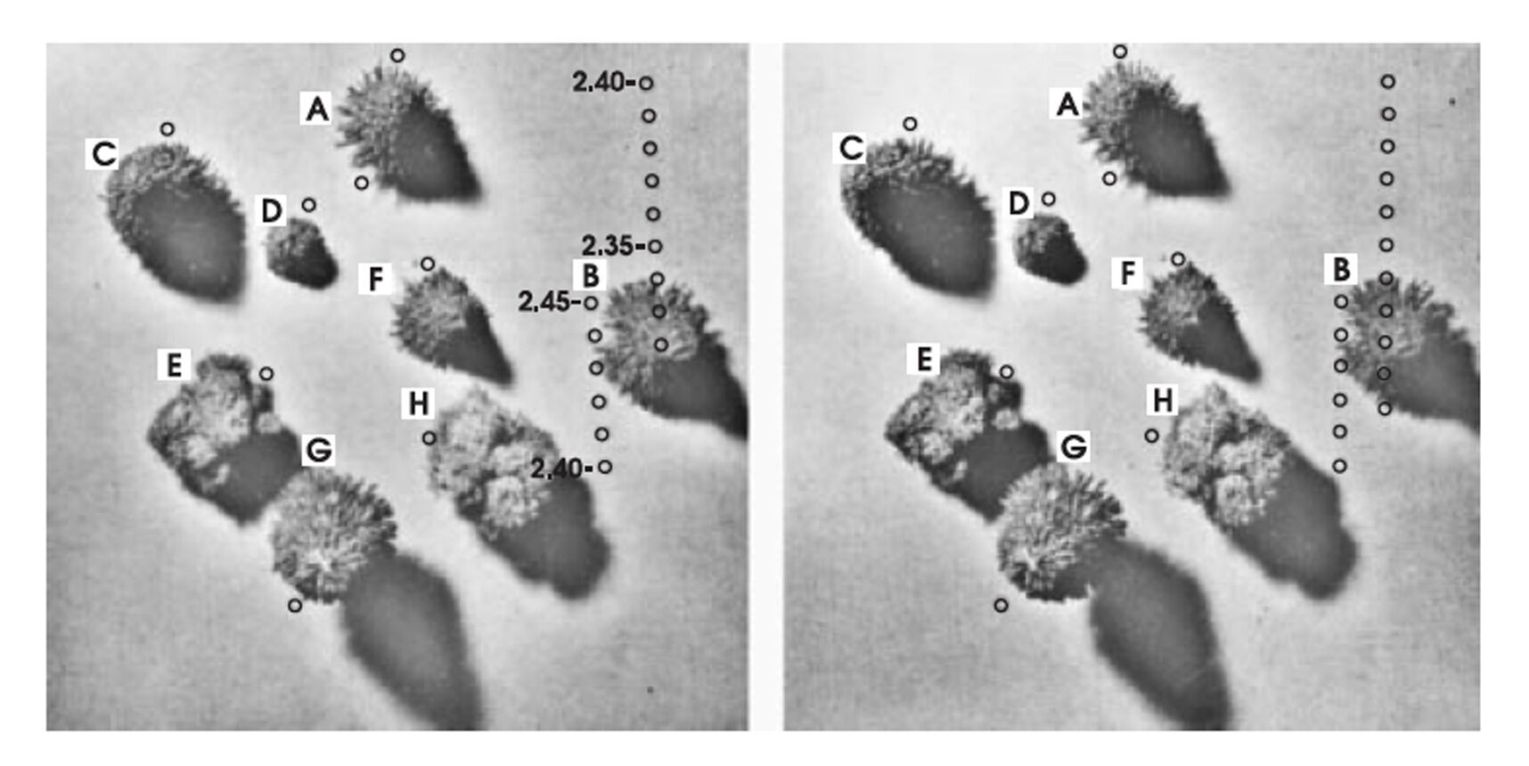
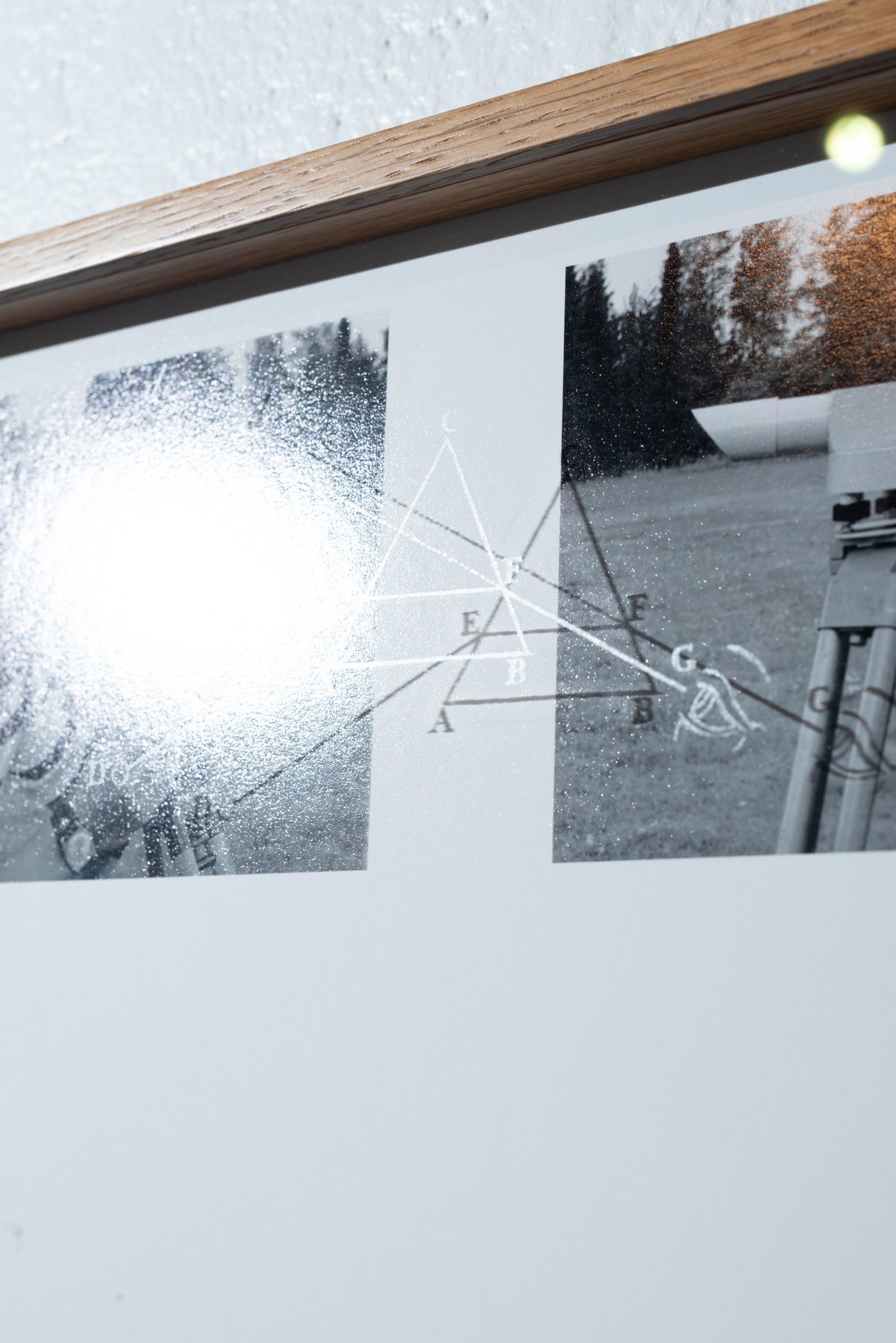
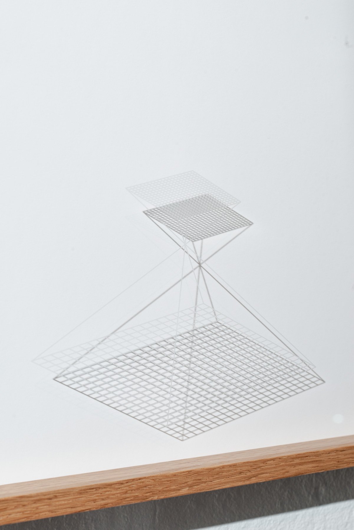
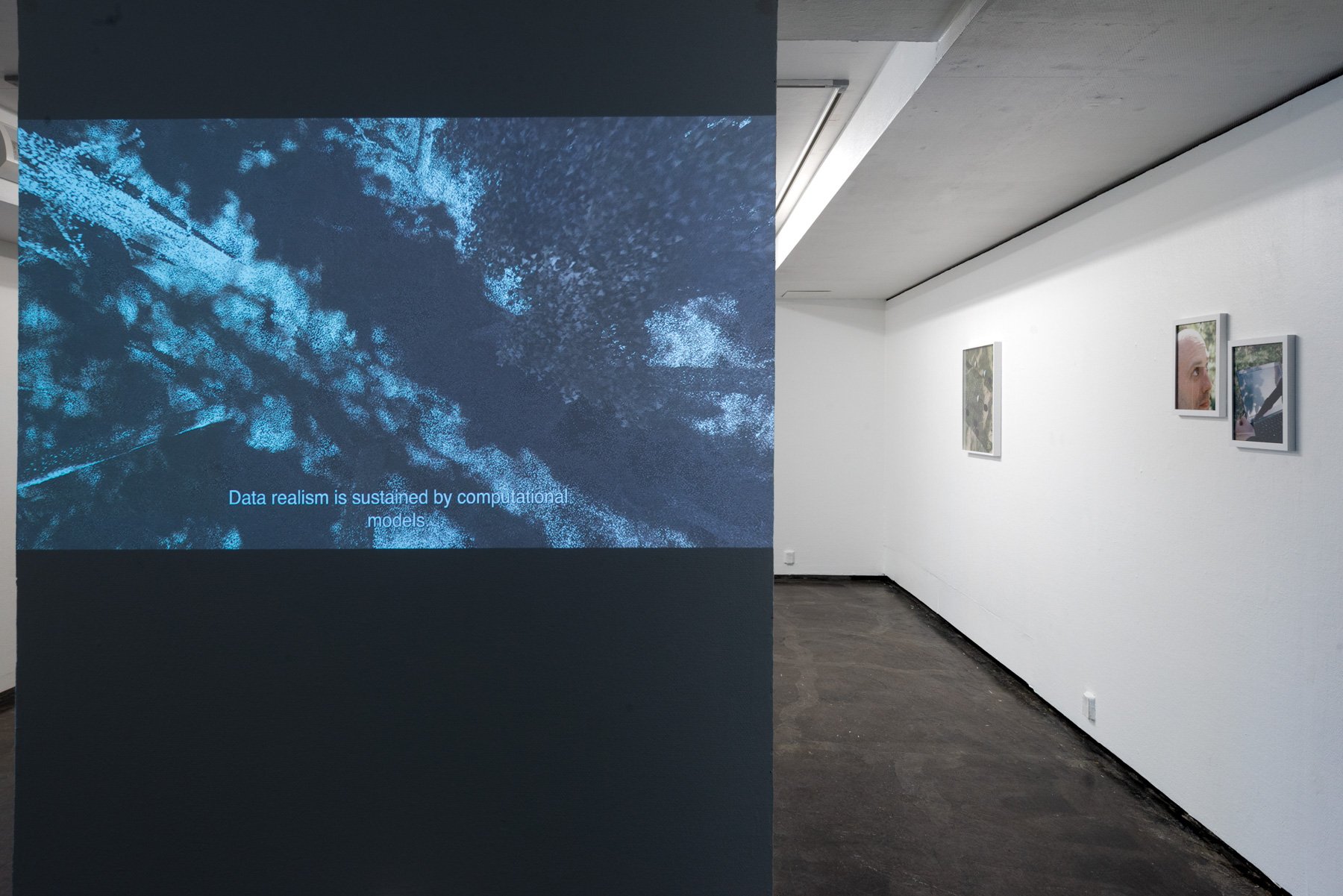
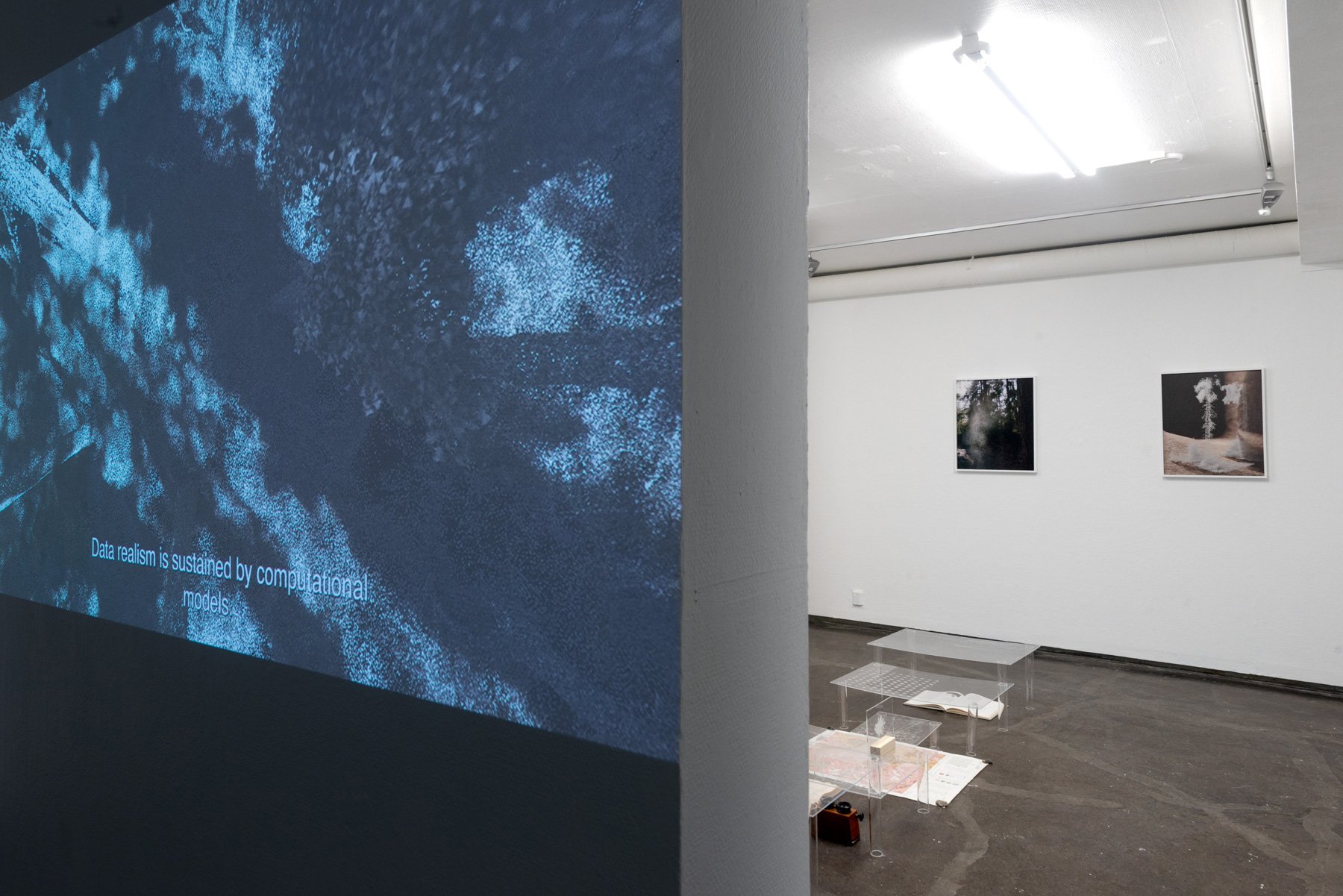
Following the quest of remote sensing researchers to develop a better interpretation model of satellite data, this project explores cutting-edge imaging techniques of forests while looking back at photography’s love affair with natural landscapes. Using meticulous on-site measurements of physical structures and spectral properties of trees, researchers develop reliable predictive models. Ground truth data is often compared to experimental results to verify the performance of a model. A successful model allows us to distinguish various features of the Earth beyond what is shown optically in a satellite image. A computer-aided vision grants us the ability to exceed the resolution limit of the extraterrestrial apparatus, to resurrect a tree from the data collected by satellites. Powered by advanced imaging technologies and algorithms, seeing is more abstract than ever.
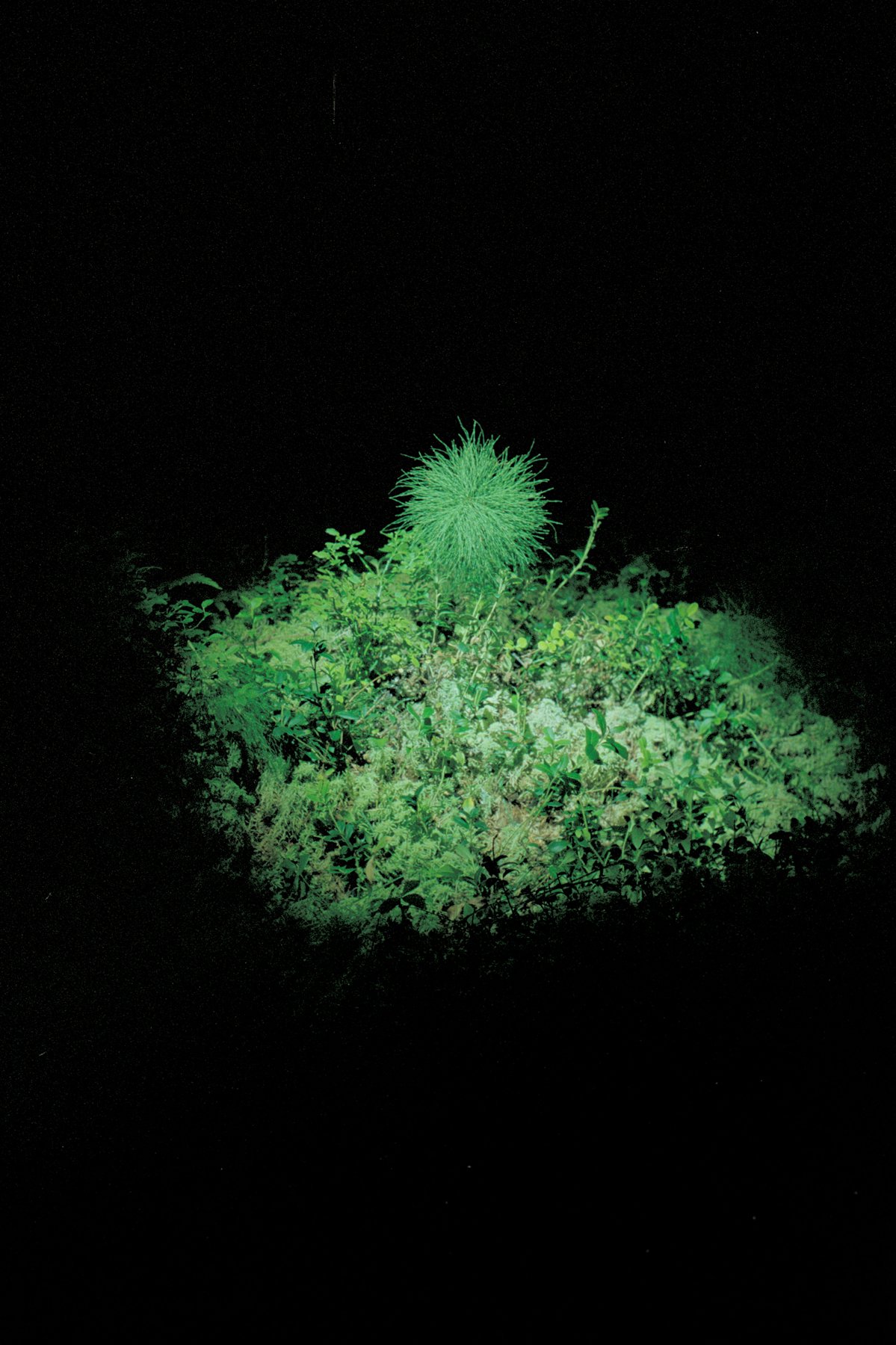
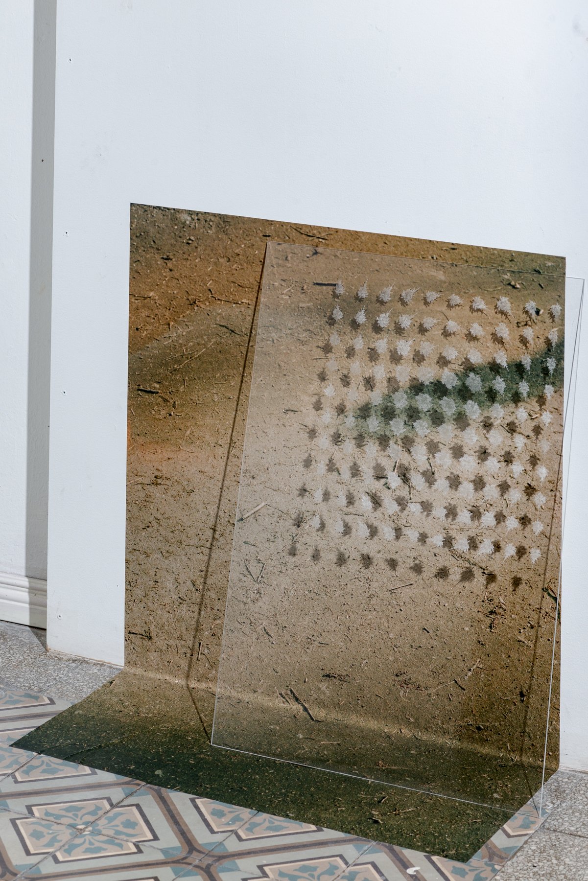
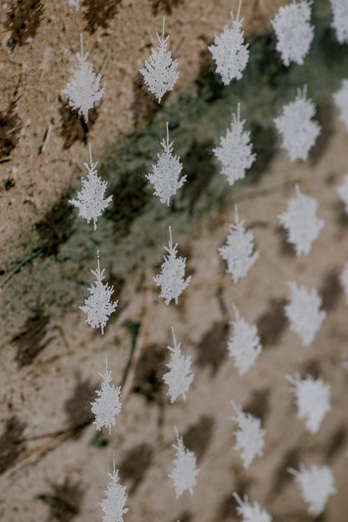
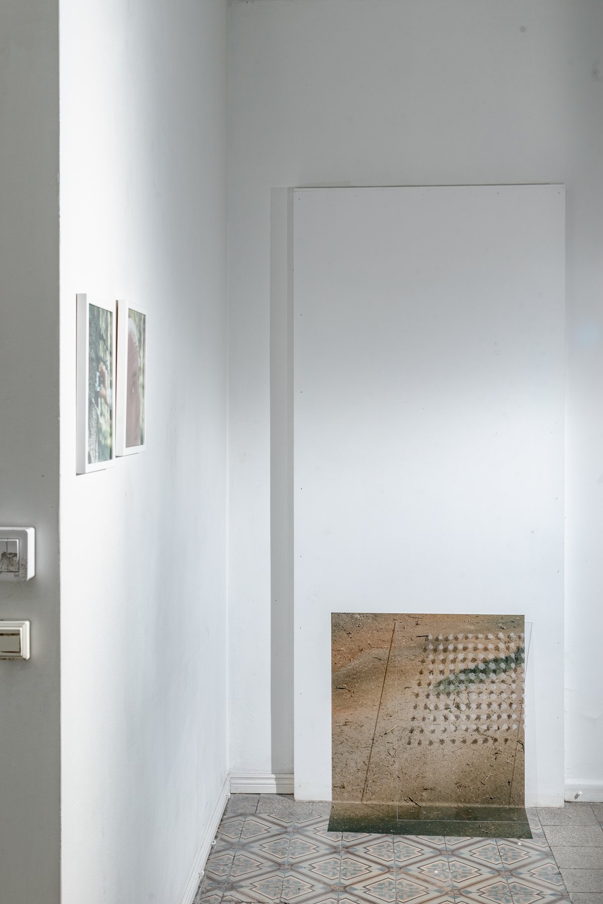
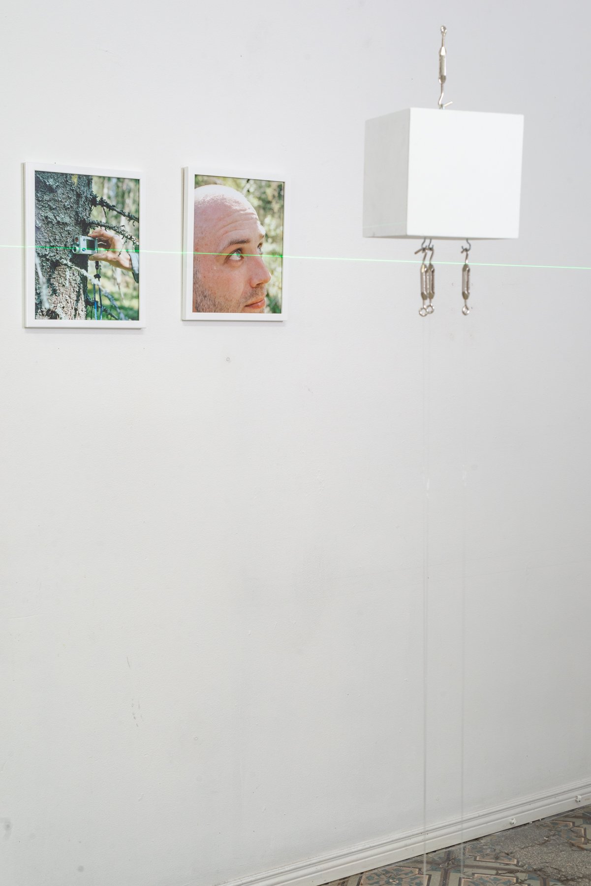
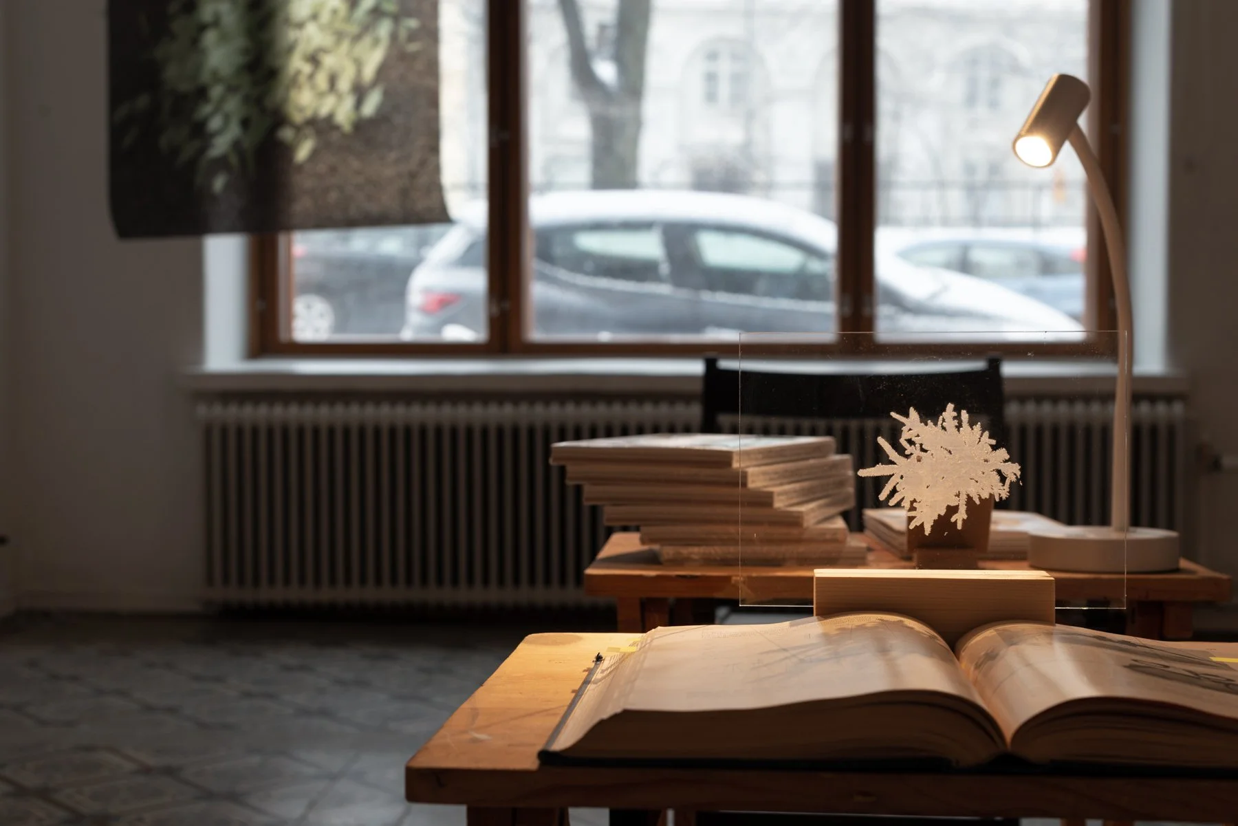
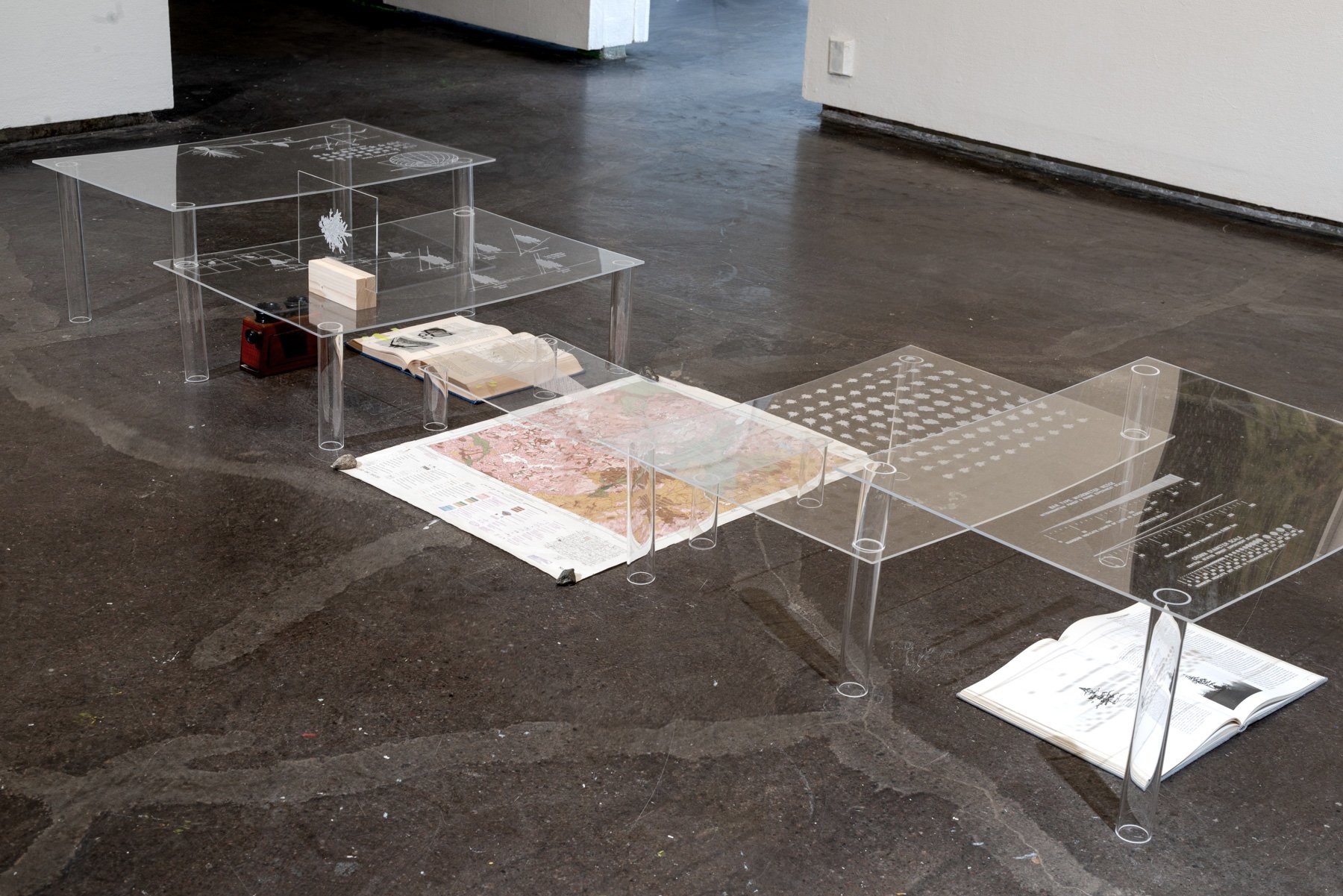
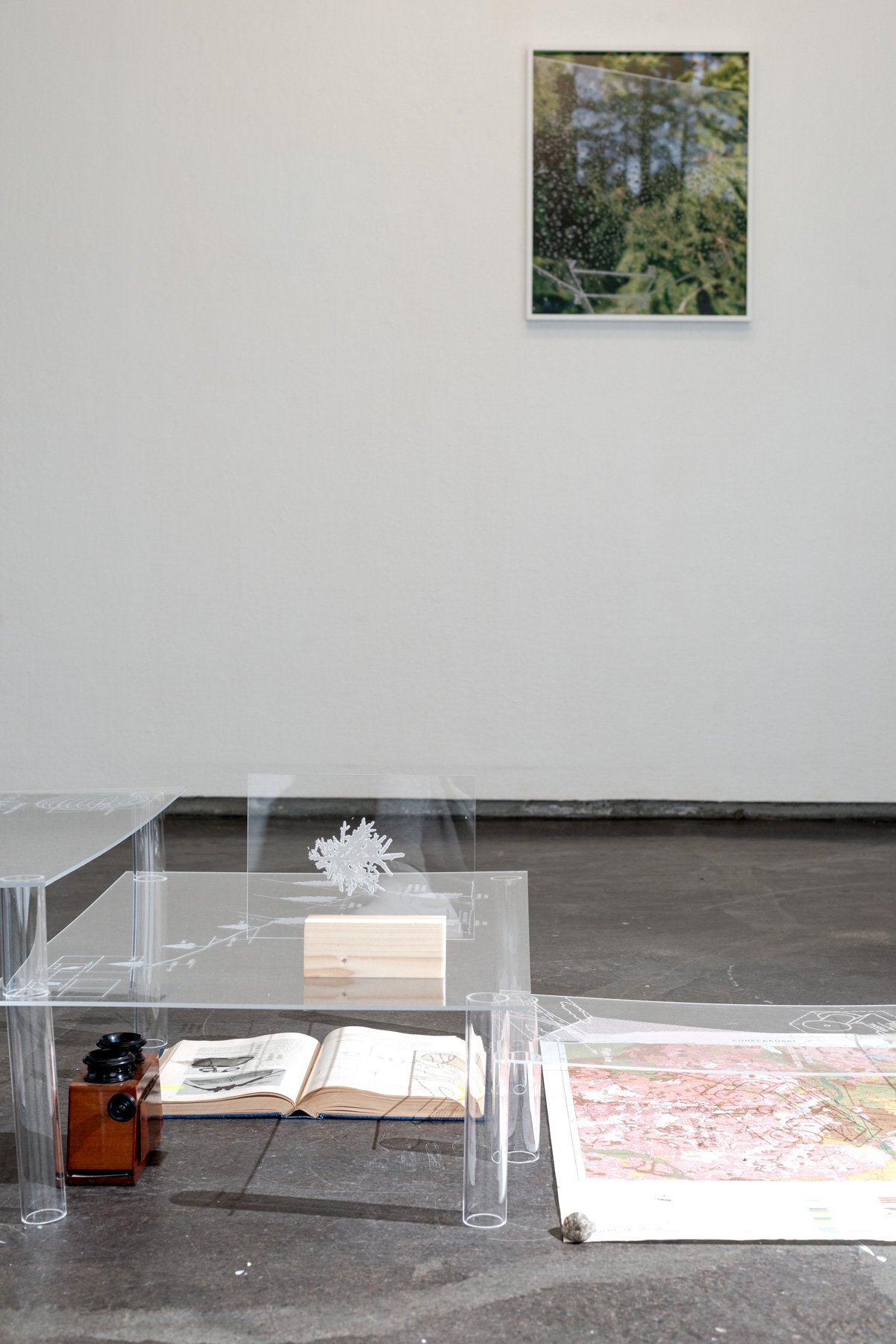
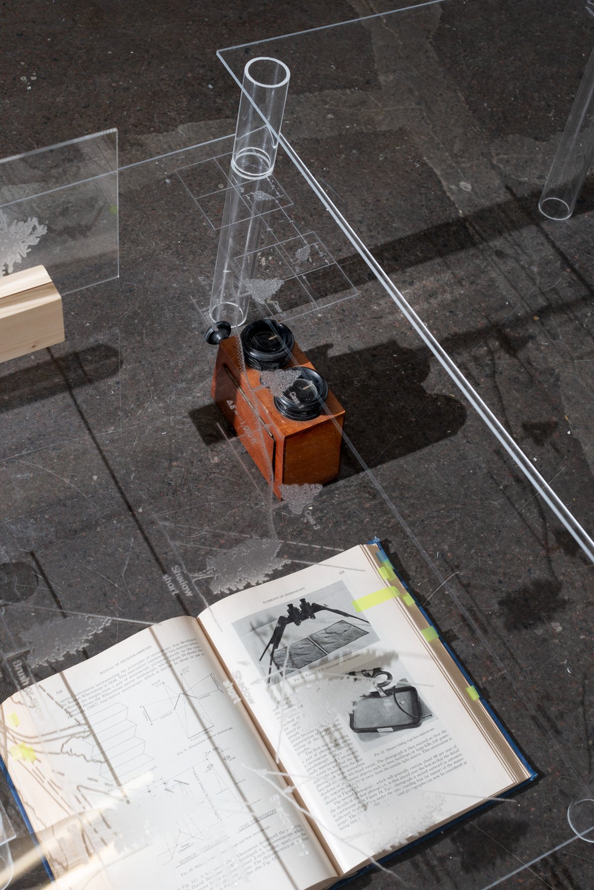
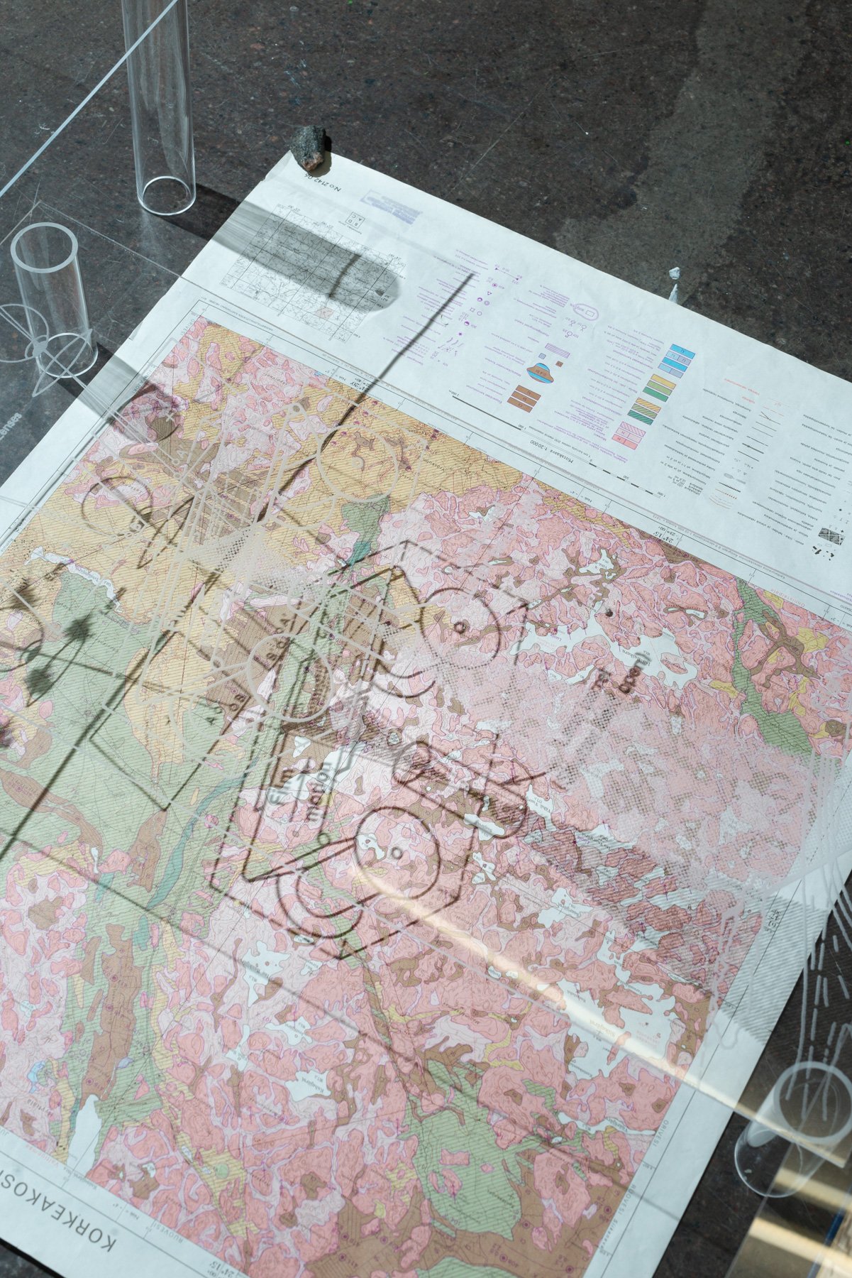
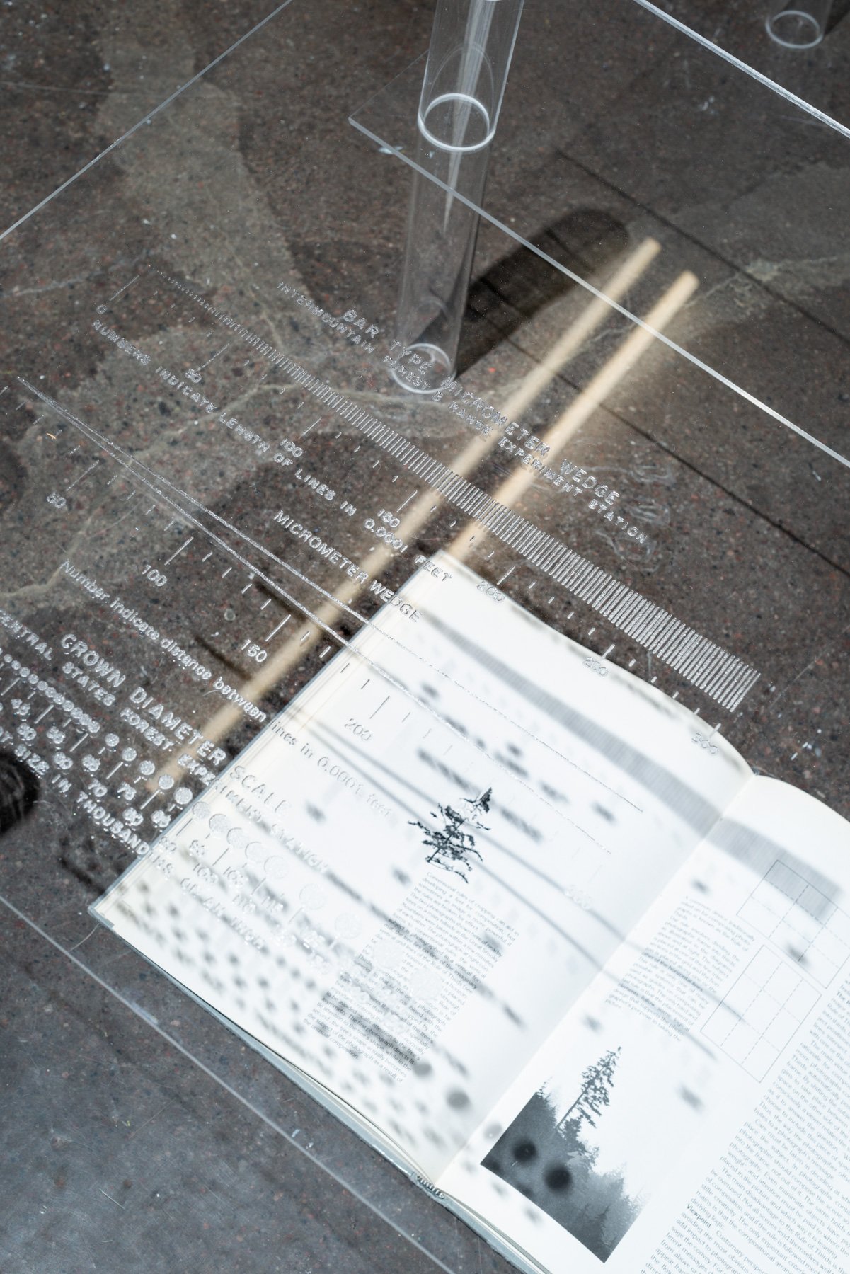
Ground Truth interweaves archival imagery, documentary photography, experimental dataset and artistic work, colour coded and designed to acquaint the reader with the complexity of seeing in the age of algorithms. Shedding light on the notion of ground truth in remote sensing, the visual materials are accompanied by two essays, each written by the artist and the collaborating researchers respectively.
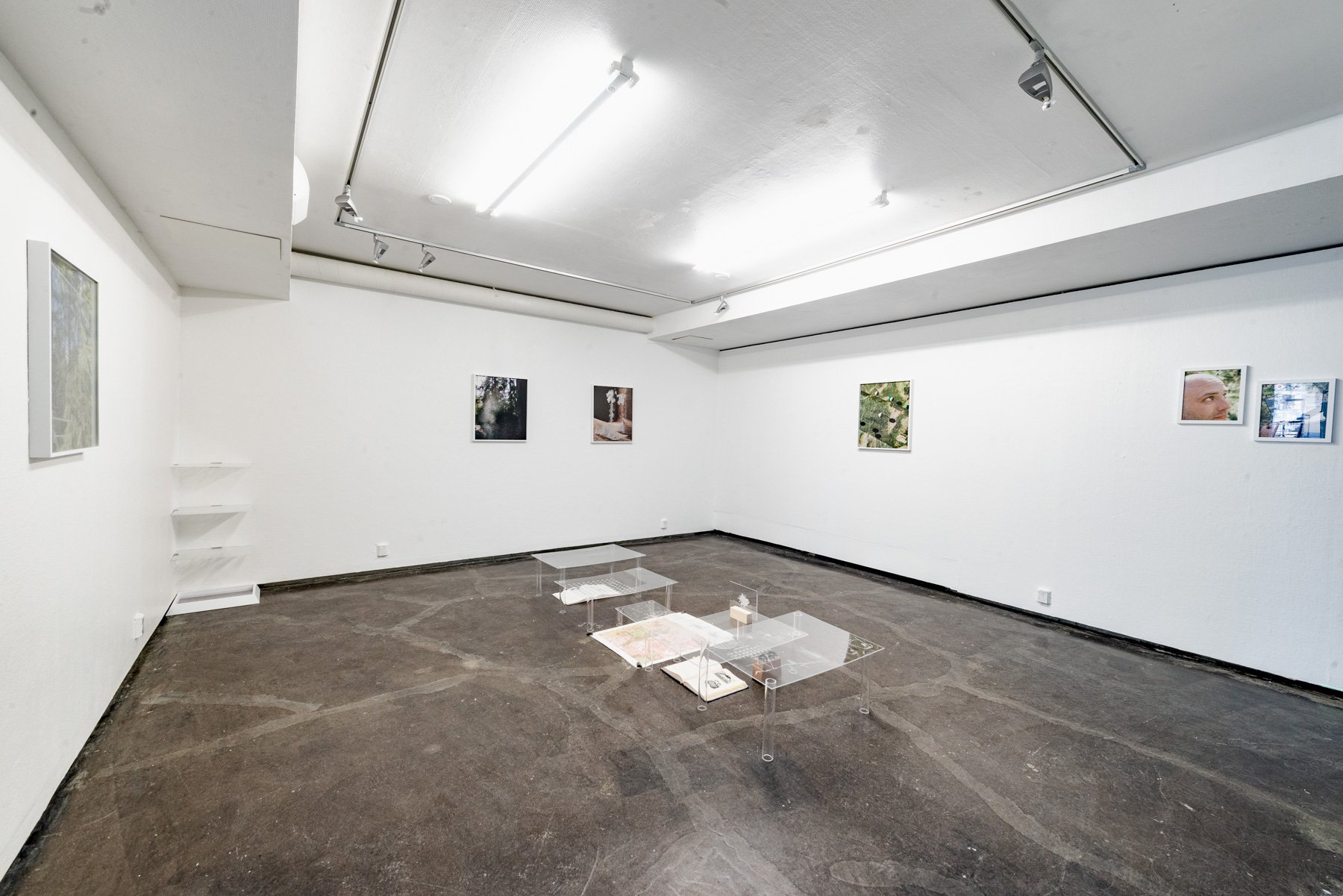
The work is exhibited at MAAtila Gallery (FI), Titanik Gallery (FI), Singapore International Photography Festival (SG), Noordelicht Festival (NL), and Circulation(s) Festival (FR).
Special thanks to associate professor Miina Rautiainen and researcher Daniel Schraik, Aarne Hovi, and Petri Forsström from the research project “From needles to landscapes: a novel approach to scaling forest spectra” at Aalto University.
Special thanks to Midge Sinnaeve for producing the wonderful visual effect of the point cloud in the video essay.
The project receives support from Arts Promotion Center Finland Taike and the Finnish Cultural Foundation